Hrasdan (river)
|
Hrasdan Հրազդան |
||
| Data | ||
| location | Armenia | |
| River system | Kura | |
| Drain over | Macaws → Kura → Caspian Sea | |
| Source lake |
Lake Sevan 40 ° 33 ′ 8 ″ N , 44 ° 59 ′ 21 ″ E |
|
| Source height | 1894 m | |
| muzzle |
Macaw's coordinates: 39 ° 59 ′ 25 " N , 44 ° 27 ′ 10" E 39 ° 59 ′ 25 " N , 44 ° 27 ′ 10" E |
|
| Mouth height | 797 m | |
| Height difference | 1097 m | |
| Bottom slope | 7.8 ‰ | |
| length | 141 km | |
| Catchment area | 7310 km² | |
| Discharge at the gauge near the mouth |
MQ |
17.9 m³ / s |
| Right tributaries | Marmarik | |
| Big cities | Yerevan | |
| Medium-sized cities | Sevan , Hrasdan | |
|
Course of the Hrasdan (gray area) |
||
The Hrazdan ( Armenian Հրազդան , scientific transliteration Hrazdan , IPA : [həɾɑz'dɑn] ) is a left tributary of the Aras in Armenia .
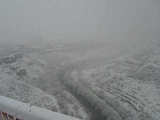
The Hrasdan forms the northwestern drain of Lake Sevan , not far from the city of Sevan . It flows first around 30 km to the northwest, then to the southeast to the city of Hrasdan and finally to the southwest through the Armenian capital Yerevan into the Arax . Its total length is 141 km.
Between 1932 and 1962 a cascade of six hydropower plants was built. In Yerevan , the 2.1 km long Yerevan children's railway runs in the gorge of the river.
Web links
Commons : Hrasdan - collection of images, videos and audio files
Individual evidence
- ↑ a b c Article Hrasdan in the Great Soviet Encyclopedia (BSE) , 3rd edition 1969–1978 (Russian)


