Kampen (mountain)
| Kampen: Ochsenkamp - Auerkamp - Spitzkamp | ||
|---|---|---|
|
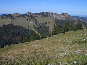
Kampen Spitzkamp - Auerkamp Ochsenkamp from the south ( Hochplatte ) |
||
| height | 1607 m | |
| location | Germany ( Bavaria ) | |
| Mountains | Bavarian Prealps ( Mangfall Mountains ) | |
| Dominance | 2.65 km → Schönberg | |
| Notch height | 557 m ↓ saddle north of the Schwarzentennalm | |
| Coordinates | 47 ° 39 '47 " N , 11 ° 39' 41" E | |
|
|
||
| Normal way | Hike from Bad Wiessee | |
|
Kampen Spitzkamp - Auerkamp Ochsenkamp from the southeast (Hirschberg) behind it on the left Seekarkreuz and on the right Fockenstein |
||
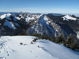
The Kampen are a group of three peaks (Ochsenkamp (1595 m), Auerkamp (1607 m), Spitzkamp (1603 m)) in the Tegernsee Mountains , a subgroup of the Bavarian Prealps . On the same mountain ridge, the Kampen summit is followed by the Brandkopf and the Seekarkreuz in a south-westerly direction.
On the slopes of the Ochsenkamp, the Hirschbach rises in the Staffelgraben on the northwest slopes and in the Raffelgraben a tributary of the Söllbach rises on the southeast slopes.
The three peaks can be reached from Lenggries or Bad Wiessee ; all three peaks are usually crossed. It is essentially a simple mountain hike with short, steeper, exposed and insured passages on the Spitzkamp.


