
Knjahynynok
| Knjahynynok | |||
| Княгининок | |||

|
|
||
| Basic data | |||
|---|---|---|---|
| Oblast : | Volyn Oblast | ||
| Rajon : | Lutsk district | ||
| Height : | 195 m | ||
| Area : | 2.44 km² | ||
| Residents : | 2,168 (2001) | ||
| Population density : | 889 inhabitants per km² | ||
| Postcodes : | 45630 | ||
| Area code : | +380 332 | ||
| Geographic location : | 50 ° 48 ' N , 25 ° 16' E | ||
| KOATUU : | 0722883701 | ||
| Administrative structure : | 1 settlement, 8 villages | ||
| Address: | вул. Соборна 77 45630 с. Княгининок |
||
| Statistical information | |||
|
|||


Knjahynynok (Ukrainian Княгининок - from 1964 to 2016 Majaky ; Russian Княгининок / Knjahininok , Polish Kniahininek ) is a village in the western Ukraine in the Oblast Volyn region , Lutsk Raion 7 kilometers of Rajons- and Oblasthauptstadt northwest Lutsk on the River Styx location.
On August 9, 2016, the village became the center of the newly established rural community Knjahynynok ( Княгининівська сільська громада Knjahynyniwska silska hromada ). At that even the settlement include Rokyni and the seven villages Bryschtsche ( Брище ) Bukiw ( Буків ) Myluschyn ( Милушин ) Myluschi ( Милуші ) Motaschiwka ( Моташівка ) Smijinez ( Зміїнець ) and Syrnyky , until then formed the village together with the villages Bukiw , Myluschyn , Myluschi , Motaschiwka , Smijinez and Syrnyky the district council of the same name .
history
The place is mentioned in writing for the first time in the 17th century and until 1793 belonged to the aristocratic republic of Poland-Lithuania in the Volhynia Voivodeship . With the partitions of Poland , the place fell to the Russian Empire and was in the Volhynia governorate until the end of the First World War .
After the First World War, the place became part of Poland (in the Voivodeship of Volyn , Powiat Łuck , Gmina Kniahiniek ), during the Second World War it was occupied by the Soviet Union between 1939 and 1941 . After the attack on the Soviet Union in June 1941 it was occupied by Germany until 1944 , this incorporated the place into the Reichskommissariat Ukraine in the general district of Brest-Litovsk / Volhynia-Podolia , district of Lutsk .
After the war, the place was added to the Soviet Union. There the village became part of the Ukrainian SSR and since the collapse of the Soviet Union in 1991 it has been part of the independent Ukraine.
In 1964 the place was renamed Mayaky (Ukrainian Маяки ), this name was changed back to its original name in the course of decommunization in 2016 .
Web links
- Entry on the place in the Encyclopedia of the History of Cities and Villages of the Ukrainian SSR (Ukrainian)
- Knjahininok . In: Filip Sulimierski, Władysław Walewski (eds.): Słownik geograficzny Królestwa Polskiego i innych krajów słowiańskich . tape 15 , part 2: Januszpol – Wola Justowska . Walewskiego, Warsaw 1902, p. 91 (Polish, edu.pl ).
Individual evidence
- ↑ Відповідно до Закону України "Про добровільне об'єднання територіальних громад" у Волинській області у Луцькому районі Рокинівська селищна та Княгининівська сільська ради рішеннями від 8 і 9 серпня 2016
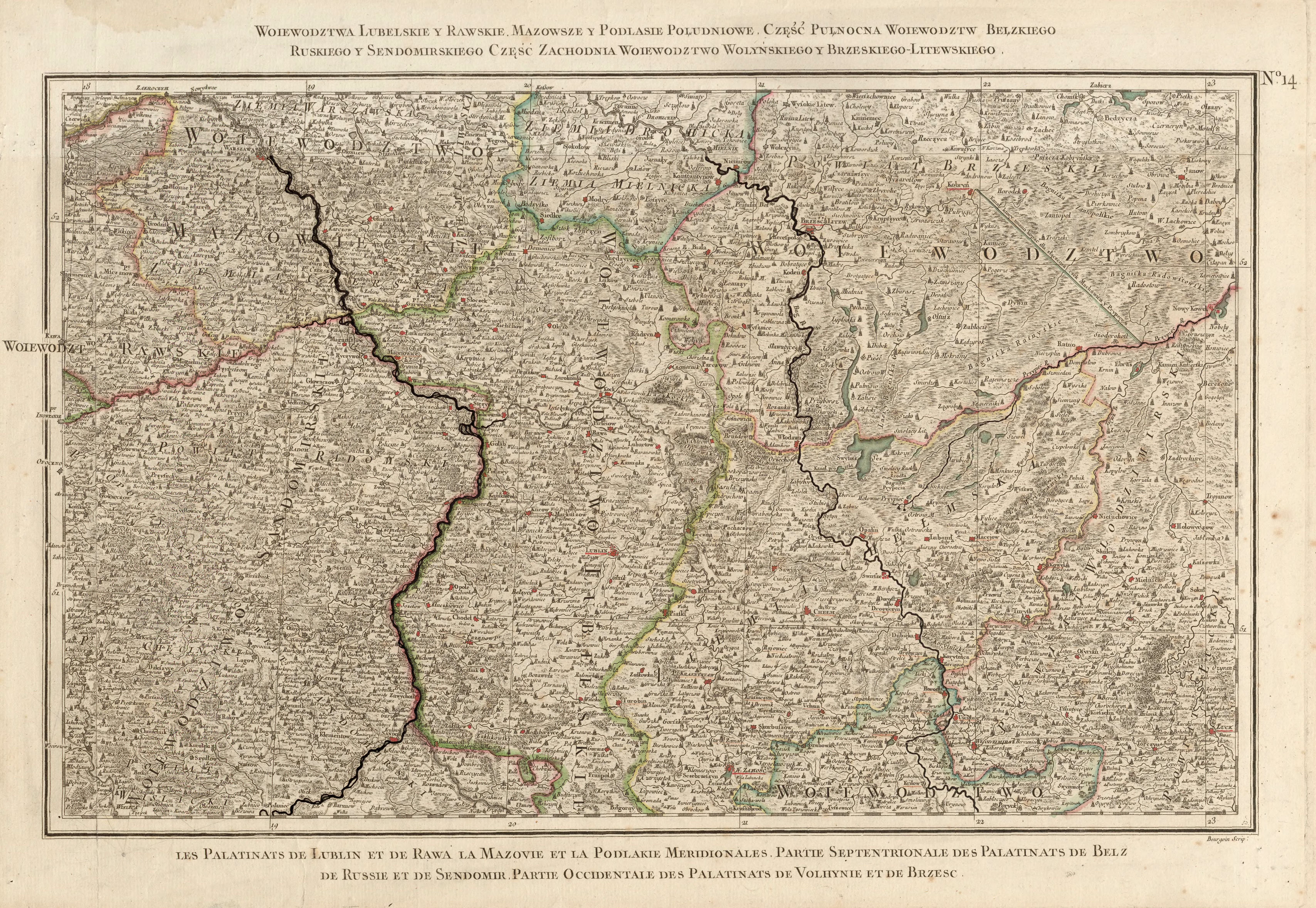
- ↑ Rizzi Zannoni, Woiewództwa Lubelskie y Rawskie. Mazowsze y Podlasie Południowe. Część Pułnocna Woiewództw Bełzkiego, Ruskiego y Sendomirskiego, część zachodnia Województwo (!) Wolyńskiego y Brzeskiego - Litewskiego .; 1772
- ↑ Верховна Рада України; Постанова від 19.05.2016 № 1377-VIII Про перейменування окремих населених пунктів та районів