
Matejiwzi
| Matejiwzi | |||
| Матеївці | |||

|
|
||
| Basic data | |||
|---|---|---|---|
| Oblast : | Ivano-Frankivsk Oblast | ||
| Rajon : | Kolomyja district | ||
| Height : | 251 m | ||
| Area : | 9.76 km² | ||
| Residents : | 1,077 (2001) | ||
| Population density : | 110 inhabitants per km² | ||
| Postcodes : | 78267 | ||
| Area code : | +380 3433 | ||
| Geographic location : | 48 ° 30 ' N , 25 ° 10' E | ||
| KOATUU : | 2623284201 | ||
| Administrative structure : | 11 villages , 1 settlement | ||
| Address: | вул. Відродження 10 78267 с. Матеївці |
||
| Statistical information | |||
|
|||


Matejiwzi (Ukrainian Матеївці ; Russian Матеевцы / Matejewzy , Polish Matyjowce ) is a village in the Ukrainian Oblast Ivano-Frankivsk in western Ukraine with about 1000 inhabitants.
The village is located in the south of the historical Galicia on the north bank of the Prut , about 10 kilometers southeast of the district center Kolomyja and 58 kilometers southeast of the oblast center Ivano-Frankivsk .
On September 9, 2016, the village became the center of the newly established rural community Matejiwzi (Матеївецька сільська громада / Matejiwezka silska hromada ), this includes also the 10 villages Debeslawzi (Дебеславці) Hanniw (Ганнів) Krynychky (Кринички) Kropywyschtsche (Кропивище ), Pereryw (Перерив), Pylypy (Пилипи), Salutschtschja (Залуччя), Samulynzi (Замулинці), Semakivtsi (Семаківці) and Trostyanka (Тростянкинці) together with the Trostyanka (Тростянкалина) up to dahnyanka ( Тростянка) as well as the land parish ( Тростянкаипипника), as well as the land parish of the same name.
The place was mentioned in writing for the first time in 1405, was initially in the aristocratic republic of Poland-Lithuania , Ruthenian Voivodeship and in 1772 came as Matiowce to the then Austrian crown land of Galicia (until 1918 in the Kolomea district ).
After the end of the First World War he came to Poland , was incorporated into the Stanislau , Powiat Kołomyja , Gmina Matyjowce Voivodeship as Matyjowce from 1921 and was only occupied by the Soviet Union during World War II and by Germany from 1941 to 1944 and attached to the Galicia district . After being reconquered by Soviet troops in 1944, it came back to the Soviet Union in 1945 and was incorporated into the Ukrainian SSR , since 1991 the place has been part of today's Ukraine.
Since 1864 the place has had a train station on today's Lviv – Chernivtsi railway line .
Web links
- Entry on the place in the Encyclopedia of the History of Cities and Villages of the Ukrainian SSR (Ukrainian)
- Matyjowce . In: Filip Sulimierski, Władysław Walewski (eds.): Słownik geograficzny Królestwa Polskiego i innych krajów słowiańskich . tape 15 , part 2: Januszpol – Wola Justowska . Walewskiego, Warsaw 1902, p. 310 (Polish, edu.pl ).
Individual evidence
- ↑ Відповідно до Закону України "Про добровільне об'єднання територіальних громад"
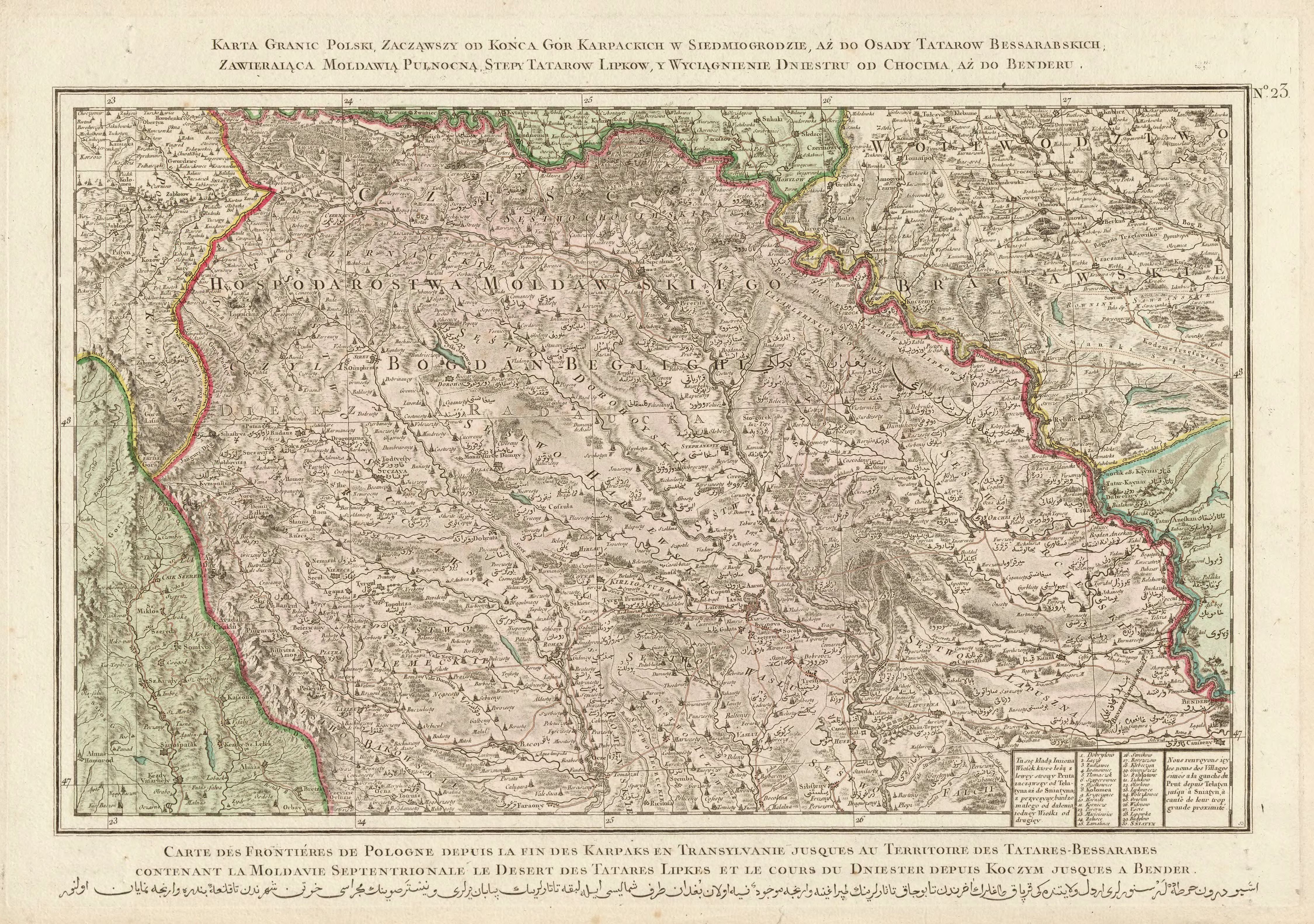
- ↑ Rizzi Zannoni, Karta granic Polski, zacząwszy od końca gór Karpackich w Siedmiogrodzie, aż do osady Tatarów Bessarabskich, Zawieraiąca Moldawią Pułnocną, stepy Tatarów Lipków, y wyciągnienie Dniestru do od Chocender .; 1772