
Maubaralissa
| Maubaralissa | |||
,_Maubara,_2018_(01).jpg)
|
|||

|
|||
| Data | |||
| surface | 18.56 km² | ||
| population | 1,969 (2015) | ||
| Chefe de Suco | Rui Manuel (election 2009) |
||
| Aldeias | Population (2015) | ||
| Baiquenulau | 305 | ||
| Darulema | 276 | ||
| Lissalara | 397 | ||
| Nunulete | 227 | ||
| Vatuguili | 764 | ||
|
|||

Maubaralissa ( Maubaralisa , Maubara Lissa ) is an East Timorese Suco in the Maubara Administrative Office ( Liquiçá municipality ).
geography
| Maubaralissa | ||
| places | position | height |
| Baiquenulau | 8 ° 39 ′ S , 125 ° 13 ′ E | 662 m |
| Darulema | 8 ° 40 ′ S , 125 ° 13 ′ E | 603 m |
| Kemipu | 8 ° 38 ′ S , 125 ° 13 ′ E | 536 m |
| Laklema | 8 ° 39 ′ S , 125 ° 12 ′ E | 632 m |
| Lakmade | 8 ° 39 ′ S , 125 ° 12 ′ E | 563 m |
| Lissalara | 8 ° 40 ′ S , 125 ° 12 ′ E | 710 m |
| Nunulete | 8 ° 39 ′ S , 125 ° 12 ′ E | 841 m |
| Vatuguili | 8 ° 38 ′ S , 125 ° 13 ′ E | 536 m |
| Vila | 8 ° 36 ' S , 125 ° 13' E | ? |
Maubaralissa is located in the northern center of the Maubara Administrative Office. In the north it extends with a narrow strip to the Sawu Sea , to the northwest is the Suco Vaviquinia , east of the Suco Vatuvou , south of the Suco Lissadila , in the southwest of the Suco Guiço and west of the Suco Gugleur . In the north, in the border area to Vaviquinia, the river Bahonu rises , which now forms the border between the two sucos.
Before the 2015 territorial reform, Maubaralissa had an area of 12.57 km². Then the borders in the south were redrawn and in the north the territory was extended to the sea. Now 18.56 km² belong to Maubaralissa.
In the north of Maubaralissa are the villages of Vila , Vatuguili , Kemipu and Lakmade , in the west Laklema and in the south Baiquenulau ( Baiquenilau , Baiquenilab ), Nunulete , Darulema and Lissalara , ( Lisalara ). In Baiquenulau there is a medical station and a primary school.
In the Suco there are the five Aldeias Baiquenulau , Darulema , Lissalara , Nunulete and Vatuguili .
Residents
1969 inhabitants live in the Suco (2015), of which 1024 are men and 945 are women. The population density is 106.1 inhabitants / km². There are 354 households in the Suco. Almost 98% of the population give Tokodede as their mother tongue. Minorities speak Tetum Prasa or Mambai , among others .
history
In 1999, pro-Indonesian militias ( Wanra ) tried to use force to influence the mood ahead of the August 30 independence referendum . One of the most feared Wanra in East Timor, the Besi Merah Putih (BMP), comes from the village of Maubara . They were primarily forcibly recruited in the Maubaras region and also had their headquarters here. Many people fled for fear of the forced recruitment. The BMP was already active from January 1999. She committed hundreds of crimes before the referendum and after the independence decision was announced. Maubaralissa, Lissadila and Vatuvou became ghost towns . Its residents fled to Sare ( Ermera municipality ). Up to 6000 refugees gathered there alone and stayed until the INTERFET arrived in September 1999.
On January 6, 2007, three women in Maubaralissa were accused of being witches. The women, aged 25, 50 and 70, were murdered and their houses set on fire. Three suspects were arrested by UN police. It was the first case of its kind in the predominantly Catholic East Timor.
politics
In the 2004/2005 elections , Miguel Sanches was elected Chefe de Suco. In the 2009 elections , Rui Manuel won .
Web links
- Results of the 2010 census for the Suco Maubaralissa ( tetum ; PDF; 8.2 MB)
- Results of the 2015 census for the Suco Maubaralissa (tetum; PDF)
- Seeds of Life: Suco information sheets Maubara (tetum)
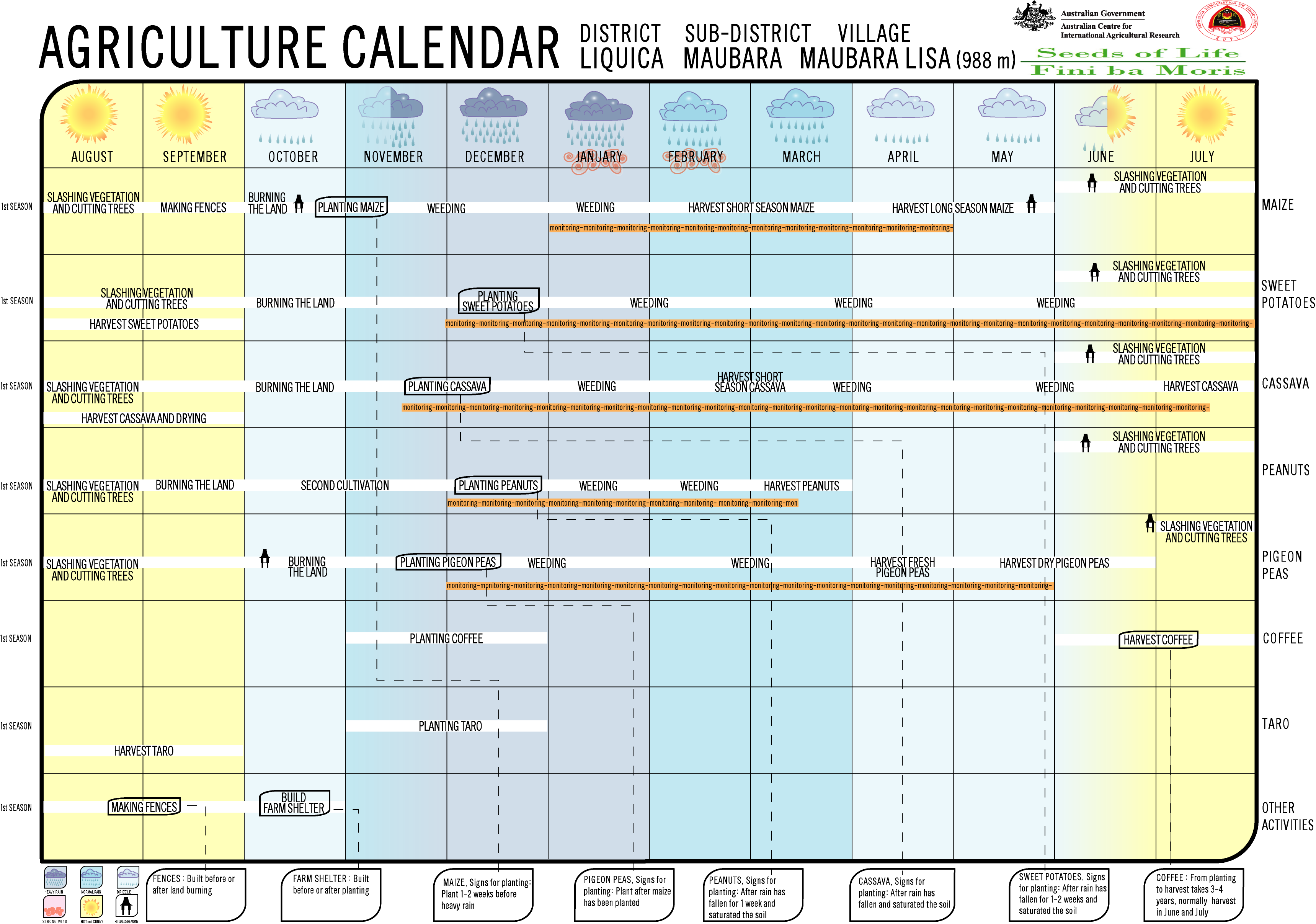
- Seeds of Life: Agriculture Calendar (English)
Individual evidence
- ↑ a b c d Direcção-Geral de Estatística : Results of the 2015 census , accessed on November 23, 2016.
- ↑ Fallingrain.com: Directory of Cities, Towns, and Regions in East Timor
- ^ Timor-Leste GIS-Portal ( Memento from June 30, 2007 in the Internet Archive )
- ↑ Ministry of State Administration and Territorial Management : Map of the Maubara Administrative Office ( memento of July 6, 2017 in the Internet Archive ), accessed on August 21, 2017.
- ↑ Direcção Nacional de Estatística: Population Distribution by Administrative Areas Volume 2 English ( Memento from January 5, 2017 in the Internet Archive ) (Census 2010; PDF; 22.6 MB)
- ↑ UNMIT: Timor-Leste District Atlas version 02, August 2008 ( Memento of December 3, 2011 in the Internet Archive ) (PDF; 486 kB)
- ↑ Jornal da Républica with the Diploma Ministerial n. 199/09 ( Memento of February 3, 2010 in the Internet Archive ) (Portuguese; PDF; 323 kB)
- ↑ Results of the 2010 census for Suco Maubaralissa ( tetum ; PDF; 8.2 MB)
- ↑ "Chapter 7.3 Forced Displacement and Famine" ( Memento of November 28, 2015 in the Internet Archive ) (PDF; 1.3 MB) from the "Chega!" Report of the CAVR (English)
- ↑ ABC news, January 10, 2007, Three suspects arrested for killing of Timorese "witches" ( Memento from January 13, 2009 in the Internet Archive )
- ↑ Secretariado Técnico de Administração Eleitoral STAE: Eleições para Liderança Comunitária 2004/2005 - Resultados ( Memento of August 4, 2010 in the Internet Archive )
- ↑ Secretariado Técnico de Administração Eleitoral STAE: Eleições para Liderança Comunitária 2009 - Resultados ( Memento of August 4, 2010 in the Internet Archive )
Gugleur | Guiço | Lissadila | Maubaralissa | Vatuboro | Vatuvou | Vaviquinia