
Gugleur
| Gugleur | |||

|
|||
| Data | |||
| surface | 47.25 km² | ||
| population | 3,716 (2015) | ||
| Chefe de Suco | Guido Ramos Ribeiro (election 2009) |
||
| Aldeias | Population (2015) | ||
| Cai-Cassa | 489 | ||
| Dair | 502 | ||
| Erito | 118 | ||
| Lautecas | 45 | ||
| Lauvou | 194 | ||
| Lebulugor | 393 | ||
| Lissa-Lara | 185 | ||
| Palistla | 264 | ||
| Puquelete | 276 | ||
| Raenaba | 413 | ||
| Vatumori | 837 | ||
|
|||

Gugleur ( Guguleur ) is an East Timorese Suco in the Maubara administrative office ( Liquiçá municipality ).
geography
| Gugleur | ||
| places | position | height |
| Cai-Cassa | 8 ° 39 ′ S , 125 ° 9 ′ E | 632 m |
| Dair | 8 ° 38 ′ S , 125 ° 8 ′ E | 311 m |
| Delesuvati | 8 ° 38 ′ S , 125 ° 10 ′ E | 445 m |
| Erito | 8 ° 39 ′ S , 125 ° 10 ′ E | 877 m |
| Kepelara | 8 ° 41 ′ S , 125 ° 9 ′ E | 791 m |
| Lautecas | 8 ° 40 ′ S , 125 ° 9 ′ E | 992 m |
| Lauvou | 8 ° 39 ′ S , 125 ° 10 ′ E | 1028 m |
| Lebulugor | 8 ° 44 ′ S , 125 ° 9 ′ E | 103 m |
| Lissa-Lara | 8 ° 40 ′ S , 125 ° 11 ′ E | 980 m |
| Palistla | 8 ° 40 ′ S , 125 ° 9 ′ E | 841 m |
| Puquelete | 8 ° 38 ′ S , 125 ° 10 ′ E | 243 m |
| Raenaba | 8 ° 39 ′ S , 125 ° 10 ′ E | 681 m |
| Samanaro | 8 ° 40 ′ S , 125 ° 12 ′ E | 841 m |
| Simarema | 8 ° 42 ′ S , 125 ° 9 ′ E | 326 m |
| Vatumori | 8 ° 40 ′ S , 125 ° 10 ′ E | 952 m |
The Suco is located to the west of the Maubara administrative office. To the west is the Suco Vatuboro , northeast of the Suco Vaviquinia and east of the Sucos Maubaralissa and Guiço . In the south, Gugleur borders the administrative office of Atabae, which belongs to the municipality of Bobonaro, with its sucos Rairobo and Atabae, and in the north lies the Sawu Sea . The rivers Tikidur and Mantaro have their source in the northeast and unite to form the Marae , which flows into the Sawu Sea on the border with Vaviquinia. The Paroho rises in the northwest and flows into the Baulu , the border river to Vatuboro. To the west of the Marae is the Tasi Tibalau beach . Before the 2015 regional reform, Gugleur had an area of 42.71 km². Now there are 47.25 km². The boundaries of sucos to its western and eastern neighbors were redrawn.
At the mouth of the Baulus in the Sawusee is the place Dair . A country road leads through it and further along the coast, which connects Maubara with the state capital Dili . Also to the north of Gugleur are the villages of Puquelete ( Pukelete ), Cai-Cassa ( Kaikasa ), Palistla ( Palistela ), Raenaba , Erito ( Erilo ) and Lauvou ( Lauvoo ). In the center are the places Lautecas ( Lautekus , Lautekas ), Lissa-Lara ( Lisalara ), Samanaro , Vatumori and Kepelara ( Kepelari ). Delesuvati ( Delesuvaati ) lies east of the junction of the Tikidur and Mantaro rivers . In the south are the towns of Simarema and Lebulugor . There are primary schools in Cai-Cassa, Dair and Lebulugor.
In the Suco are the eleven Aldeias Cai-Cassa , Dair , Erito , Lautecas , Lauvou , Lebulugor , Lissa-Lara , Palistla , Puquelete , Raenaba and Vatumori .
Residents
3716 inhabitants live in the Suco (2015), of which 1856 are men and 1860 women. The population density is 78.7 inhabitants / km². There are 694 households in the Suco. Over 55% of the population give Tokodede as their mother tongue. Almost 4% speak Tetum Prasa and a small minority speak Baikeno .
politics
In the elections of 2004/2005 was Guido Ramos Ribeiro elected Chefe de Suco and in 2009 re-elected.
Web links
- Results of the 2010 census for the Suco Gugleur ( tetum ; PDF; 8.2 MB)
- Results of the 2015 census for the Suco Gugleur (tetum; PDF)
- Seeds of Life: Suco information sheets Maubara (tetum)
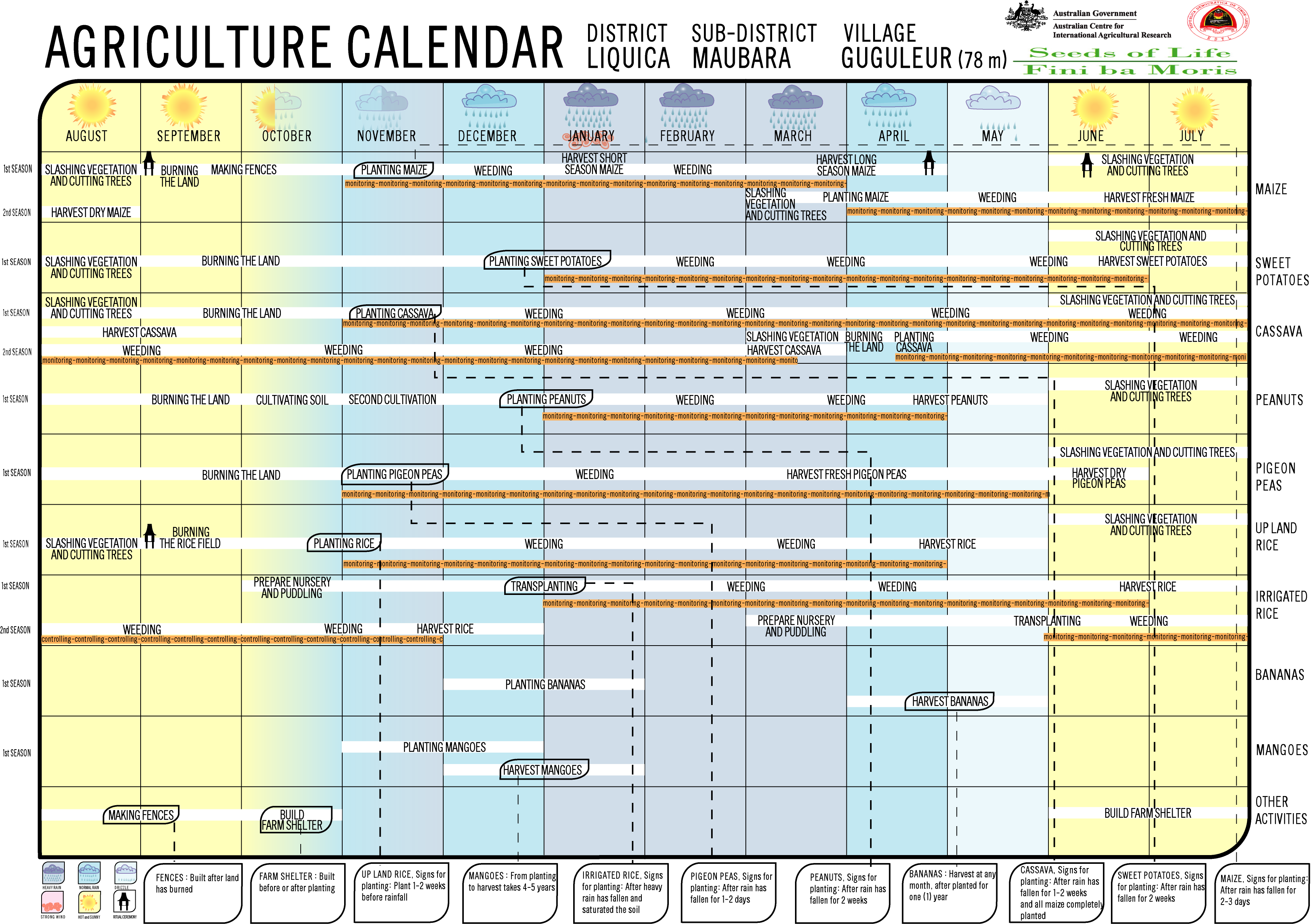
- Seeds of Life: Agriculture Calendar (English)
Individual evidence
- ↑ a b c d Direcção-Geral de Estatística : Results of the 2015 census , accessed on November 23, 2016.
- ↑ Fallingrain.com: Directory of Cities, Towns, and Regions in East Timor
- ^ Timor-Leste GIS-Portal ( Memento from June 30, 2007 in the Internet Archive )
- ↑ Direcção Nacional de Estatística: Population Distribution by Administrative Areas Volume 2 English ( Memento of the original from January 5, 2017 in the Internet Archive ) Info: The archive link has been inserted automatically and has not yet been checked. Please check the original and archive link according to the instructions and then remove this notice. (2010 census; PDF; 22.6 MB)
- ↑ Ministry of State Administration and Territorial Management : Map of the Maubara Administrative Office ( Memento of the original of July 6, 2017 in the Internet Archive ) Info: The archive link has been inserted automatically and has not yet been checked. Please check the original and archive link according to the instructions and then remove this notice. , accessed on August 21, 2017.
- ↑ List of polling stations for the parliamentary elections in East Timor 2007 (PDF file; 118 kB)
- ↑ UNMIT: Timor-Leste District Atlas version 02, August 2008 ( Memento of the original from December 3, 2011 in the Internet Archive ) Info: The archive link has been inserted automatically and has not yet been checked. Please check the original and archive link according to the instructions and then remove this notice. (PDF; 486 kB)
- ↑ Jornal da Républica with the Diploma Ministerial n. 199/09 ( Memento of February 3, 2010 in the Internet Archive ) (Portuguese; PDF; 323 kB)
- ↑ Results of the 2010 census for the Suco Gugleur ( tetum ; PDF; 8.2 MB)
- ↑ Secretariado Técnico de Administração Eleitoral STAE: Eleições para Liderança Comunitária 2004/2005 - Resultados ( Memento of August 4, 2010 in the Internet Archive )
- ↑ Secretariado Técnico de Administração Eleitoral STAE: Eleições para Liderança Comunitária 2009 - Resultados ( Memento of August 4, 2010 in the Internet Archive )
Gugleur | Guiço | Lissadila | Maubaralissa | Vatuboro | Vatuvou | Vaviquinia