
Mocomoco (Camacho)
| Mocomoco | |||
|---|---|---|---|
| Basic data | |||
| Residents (state) | 505 pop. (2012 census) | ||
| height | 3302 m | ||
| Post Code | 02-0402-0103-3001 | ||
| Telephone code | (+591) | ||
| Coordinates | 15 ° 27 ′ S , 69 ° 0 ′ W | ||
|
|||
| politics | |||
| Department | La Paz | ||
| province | Eliodoro Camacho Province | ||
| climate | |||
 Climate diagram Mocomoco |
|||

Mocomoco is a town in the La Paz department in the South American Andean state of Bolivia .
Location in the vicinity
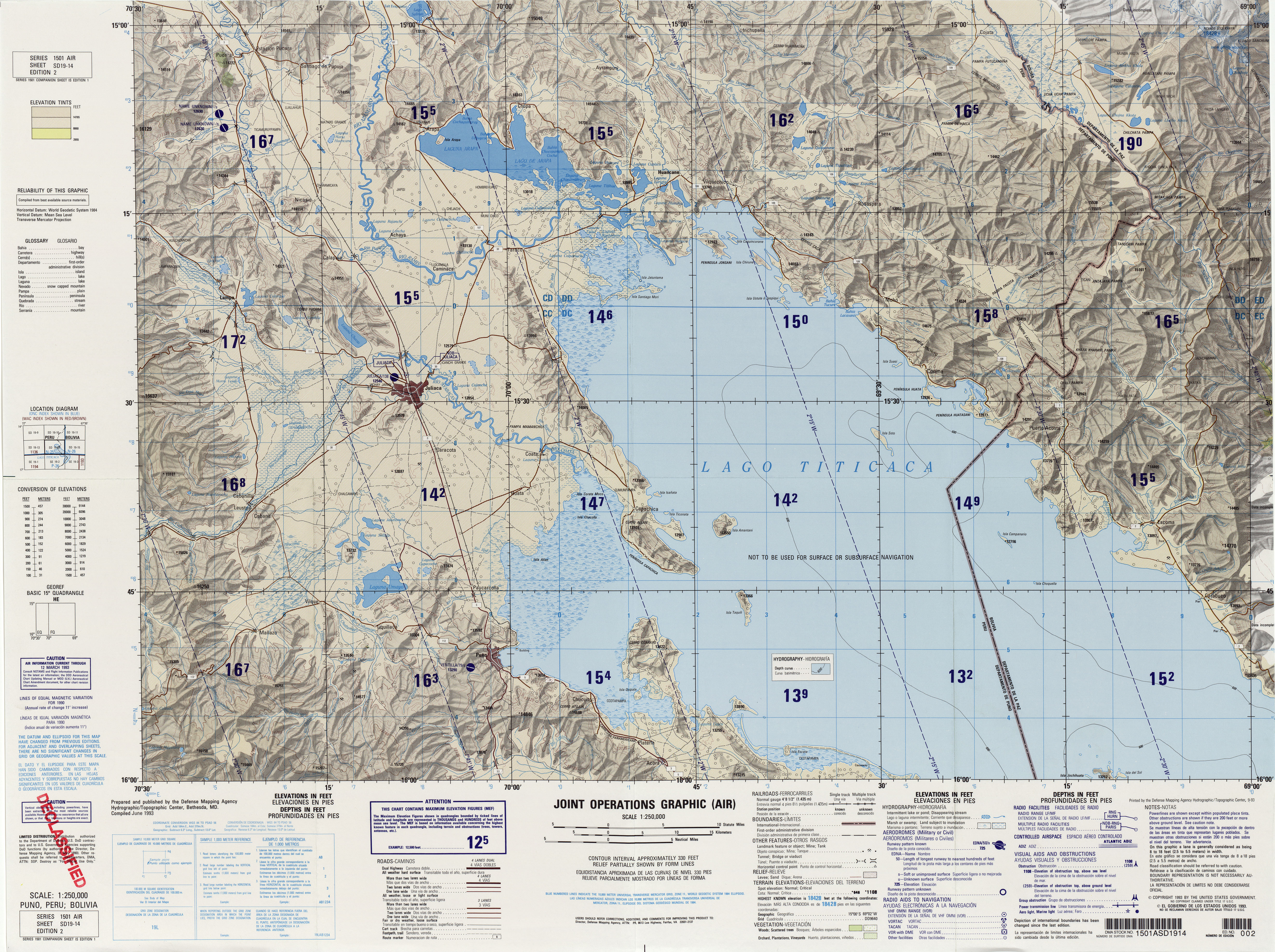
Mocomoco is the central place of the district ( Bolivian : Municipio ) Mocomoco in the province of Eliodoro Camacho . The village is located at an altitude of 3302 m in the southern foothills of the Cordillera Apolobamba , 30 km northeast of Lake Titicaca .
geography
The Municipio Mocomoco is located on the Bolivian Altiplano at an average altitude of 3500 m , on the western edge of the Cordillera Real . The climate of the region is a typical time of day climate , in which the temperature fluctuations during the day are more pronounced than during the year.
The mean average temperature of the municipality is almost 14 ° C (see climate diagram Mocomoco), the monthly average temperatures fluctuate only slightly between 11 ° C in June / July and 15 ° C from October to March. The annual precipitation is around 750 mm, the monthly precipitation is between under 20 mm from July to August and 100-150 mm from December to March.
Transport network
Mocomoco is located at a distance of 215 kilometers by road northwest of La Paz , the capital of the department of the same name.
From La Paz the highway Ruta 2 leads via El Alto in a north-westerly direction 30 kilometers to Huarina , from there the Ruta 16 via Achacachi and Puerto Carabuco to Escoma near the mouth of the Río Suches in Lake Titicaca. From Escoma it continues as an unpaved road north to Italaque , where an unpaved road branches off that reaches Mocomoco after 15 kilometers.
population
The population of the village has increased by around half in the past two decades:
| year | Residents | source |
|---|---|---|
| 1992 | 323 | census |
| 2001 | 439 | census |
| 2012 | 505 | census |
The population of the region is above all the indigenous people of the Aymara on.
Individual evidence
- ^ INE - Instituto Nacional de Estadística Bolivia 1992
- ^ INE - Instituto Nacional de Estadística Bolivia 2001
- ↑ INE - Instituto Nacional de Estadística Bolivia 2012 ( Memento of the original from July 22, 2011 in the Internet Archive ) Info: The archive link has been inserted automatically and has not yet been checked. Please check the original and archive link according to the instructions and then remove this notice.
Web links
- Relief map of the Sorata region 1: 250,000 (PDF; 12.81 MB)
- Relief map of the Puno / Titicaca region 1: 250,000 (JPG; 8.56 MB)
- Municipio Mocomoco - General Maps No. 20402
- Municipio Mocomoco - detailed map and population data (PDF; 416 kB) ( Spanish )
- Departamento La Paz - social data of the municipalities (PDF; 11.63 MB) ( Spanish )