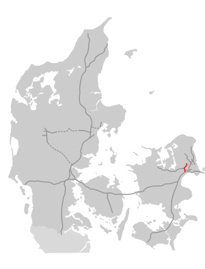
Motor ring 4
| Ringvej O4 in Denmark | ||||||||||||||||||||||||||||||||||||||||||||||
| Motor ring 4 | ||||||||||||||||||||||||||||||||||||||||||||||

|
||||||||||||||||||||||||||||||||||||||||||||||
| map | ||||||||||||||||||||||||||||||||||||||||||||||
| Basic data | ||||||||||||||||||||||||||||||||||||||||||||||
| Operator: | Vejdirektoratet | |||||||||||||||||||||||||||||||||||||||||||||
| Overall length: | 15 km | |||||||||||||||||||||||||||||||||||||||||||||
|
Regions : |
||||||||||||||||||||||||||||||||||||||||||||||
|
Course of the road
|
||||||||||||||||||||||||||||||||||||||||||||||
The motor ring 4 is a highway to the west of Copenhagen . It relieves the city center and provides a more extensive bypass around Copenhagen than, for example, Motorring 3 . This feature makes it widely used and used by up to 65,000 vehicles. It is part of the M4, M6 and M11.
State of development
It is planned to completely expand the motorway to three lanes, currently only a small piece is under construction.
history
The autobahn was built in five stages from 1974 to 1977, mostly with two lanes.
