Osterems

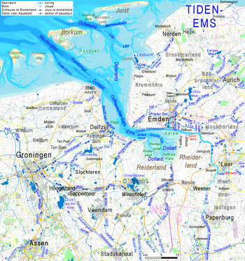
Osterems in the outer Ems estuary: mudflats in pale, areas under the chart zero in bright blue tones; waters shielded from the tides are covered in blue
The Osterems represents the eastern branch of the mouth of the outer Ems into the North Sea .
It runs through the Lower Saxony Wadden Sea National Park in a north-west-south-east direction past the uninhabited islands of Lütje Hörn and Memmert between the East Frisian islands of Borkum and Juist into the North Sea.
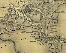
The location and depth of the fairway in the Osterems are subject to major changes. Due to the constant siltation, the Osterems can only be navigated by smaller vessels over its entire length.
See also
Web links
Coordinates: 53 ° 37 ′ 4 ″ N , 6 ° 50 ′ 1 ″ E
