Randzelgat

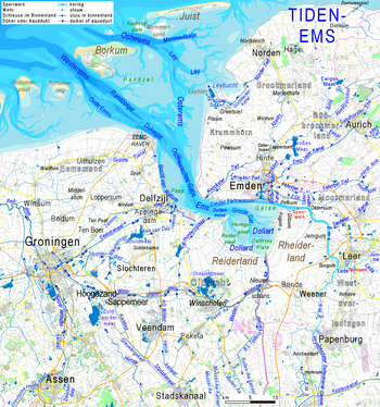
The Randzelgat is a lake in the area of the Ems estuary south of the East Frisian island of Borkum .
The Randzelgat forms the main southern fairway of the Westerems , as the entire western arm of the Ems in the Ems estuary is also called. The arm of the Ems that passes Borkum to the east is called Osterems . The main fairway of the Ems was the Osterems in the 16th century. However, it silted up heavily and the Westerems was increasingly used as a waterway to approach Emden .
The Randzelgat forms the eastern fairway of the western Ems and leads past Borkum to the west. It runs between the flat Möwensteert and the southern edge of the Randzelplate to the Binnen-Randzel beacon at the southern end of the Randzelplate. Opposite the fishing buoy, which serves as the entrance to the Borkum harbor, is the Borkum roadstead .
The highest German lighthouse at 65.3 meters , the Campen lighthouse , serves as a daytime marker and, in the dark, as a beacon for driving through Randzelgat. The tower, built as a three-legged steel structure, stands on the East Frisian west coast. It was planned in 1883 as part of the German-Dutch project lighting the Unter-Ems as one of five beacons to control the Ems at night.
See also
Web links
Individual evidence
- ^ Pilsumer Leuchtturm: History - Brochure 1883, page 9, section 1 , accessed on June 24, 2011
- ↑ Official nautical chart No. 90 (INT 1461), BSH , 33rd edition, Rostock 2012
- ↑ Principle "Illumination of the Unter-Ems" , accessed on June 24, 2011
Coordinates: 53 ° 31 ′ 0 ″ N , 6 ° 44 ′ 0 ″ E