Rosay North
| Rosay North | ||
|
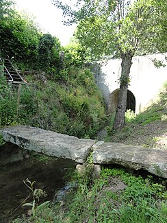
The river at Bourg-le-Roi |
||
| Data | ||
| Water code | FR : M0154000 | |
| location | France , Pays de la Loire region | |
| River system | Loire | |
| Drain over | Bienne → Sarthe → Maine → Loire → Atlantic Ocean | |
| source | at the town of Saint-Rigomer-des-Bois in the municipality of Villeneuve-en-Perseigne, 48 ° 23 ′ 20 ″ N , 0 ° 10 ′ 31 ″ E |
|
| Source height | approx. 218 m | |
| muzzle | in the municipality of Piacé in the Bienne coordinates: 48 ° 15 ′ 17 ″ N , 0 ° 6 ′ 39 ″ E 48 ° 15 ′ 17 ″ N , 0 ° 6 ′ 39 ″ E |
|
| Mouth height | approx. 63 m | |
| Height difference | approx. 155 m | |
| Bottom slope | approx. 7.4 ‰ | |
| length | approx. 21 km | |
| Right tributaries | Vilette | |
The Rosay north is a river in France , who in the Sarthe department in the region of Pays de la Loire runs. It rises in the Regional Natural Park Normandie-Maine , the place Saint-Rigomer-des-Bois , in the municipality of Villeneuve-en-Perseigne generally drained southwest and ends after about 21 kilometers in the municipality of Piacé as a right tributary to the Bienne , just before it flows into the Sarthe .
Places on the river
(Order in flow direction)
