State College (Pennsylvania)
| State College | ||
|---|---|---|
| Nickname : Happy Valley | ||
 |
||
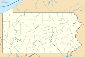
| Location in Pennsylvania | ||
|
|
||
| Basic data | ||
| Foundation : | 1895 | |
| State : | United States | |
| State : | Pennsylvania | |
| County : | Center County | |
| Coordinates : | 40 ° 47 ′ N , 77 ° 52 ′ W | |
| Time zone : | Eastern ( UTC − 5 / −4 ) | |
|
Inhabitants : - Metropolitan Area : |
41,992 (as of 2016) 161,464 (as of 2016) |
|
| Population density : | 3,558.6 inhabitants per km 2 | |
| Area : | 11.8 km 2 (approx. 5 mi 2 ) | |
| Height : | 350 m | |
| Postcodes : | 16801, 16803, 16804, 16805 | |
| Area code : | +1 814 | |
| GNIS ID : | 1215063 | |
| Website : | www.statecollegepa.us | |
| Mayor : | Elizabeth Goreham | |
 |
||
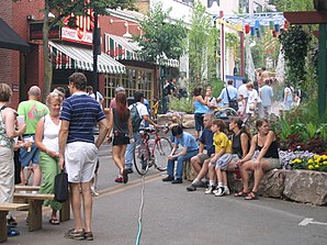
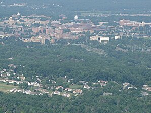
State College is a borough in Center County in the US state of Pennsylvania with a population of over 40,000.
The place is largely shaped by the Pennsylvania State University in University Park .
The fourth largest stadium in the world, Beaver Stadium of the Nittany Lions and the State College Spikes , a minor league team of the St. Louis Cardinals , are worth mentioning.
There is a Woodhouseit deposit nearby.
Just north of the city is the University Park Airport regional airport .
Personalities
- George Andrews (* 1938), mathematician
- Zhang Chengji (1920–1988), philosopher
- Haskell Brooks Curry (1900-1982), logician
- George E. Forsythe (1917–1972), numerical scientist
- Joseph P. LaSalle (1916–1983), mathematician
- Dave McKenna (1930-2008), jazz pianist
- John L. McLucas (1920–2002), politician
- Chad A. Mirkin (* 1963), chemist
- Tomasz Mrowka (* 1961), mathematician
- Joe Paterno (1926–2012), American football coach
- Thomas Rogers (1927–2007), literary critic
- Tom Shear (* 1971), musician
- Fred Waring (1900–1984), musician
Web links
Commons : State College, Pennsylvania - collection of pictures, videos, and audio files
Individual evidence
- ↑ Borough of State College in the United States Geological Survey's Geographic Names Information System , accessed December 23, 2014
