
Tunapa
| Tunapa | |||
|---|---|---|---|
 Tunapa in the plain of the Río Lauca |
|||
| Basic data | |||
| Residents (state) | 131 pop. (2012 census) | ||
| height | 3765 m | ||
| Post Code | 04-0901-1300-1003 | ||
| Telephone code | (+591) | ||
| Coordinates | 18 ° 52 ′ S , 68 ° 31 ′ W | ||
|
|||
| politics | |||
| Department | Oruro | ||
| province | Sabaya Province | ||
| climate | |||
 Climate diagram Sabaya |
|||

Tunapa is a town in the Oruro department in the highlands of the South American Andean state of Bolivia .
Location in the vicinity
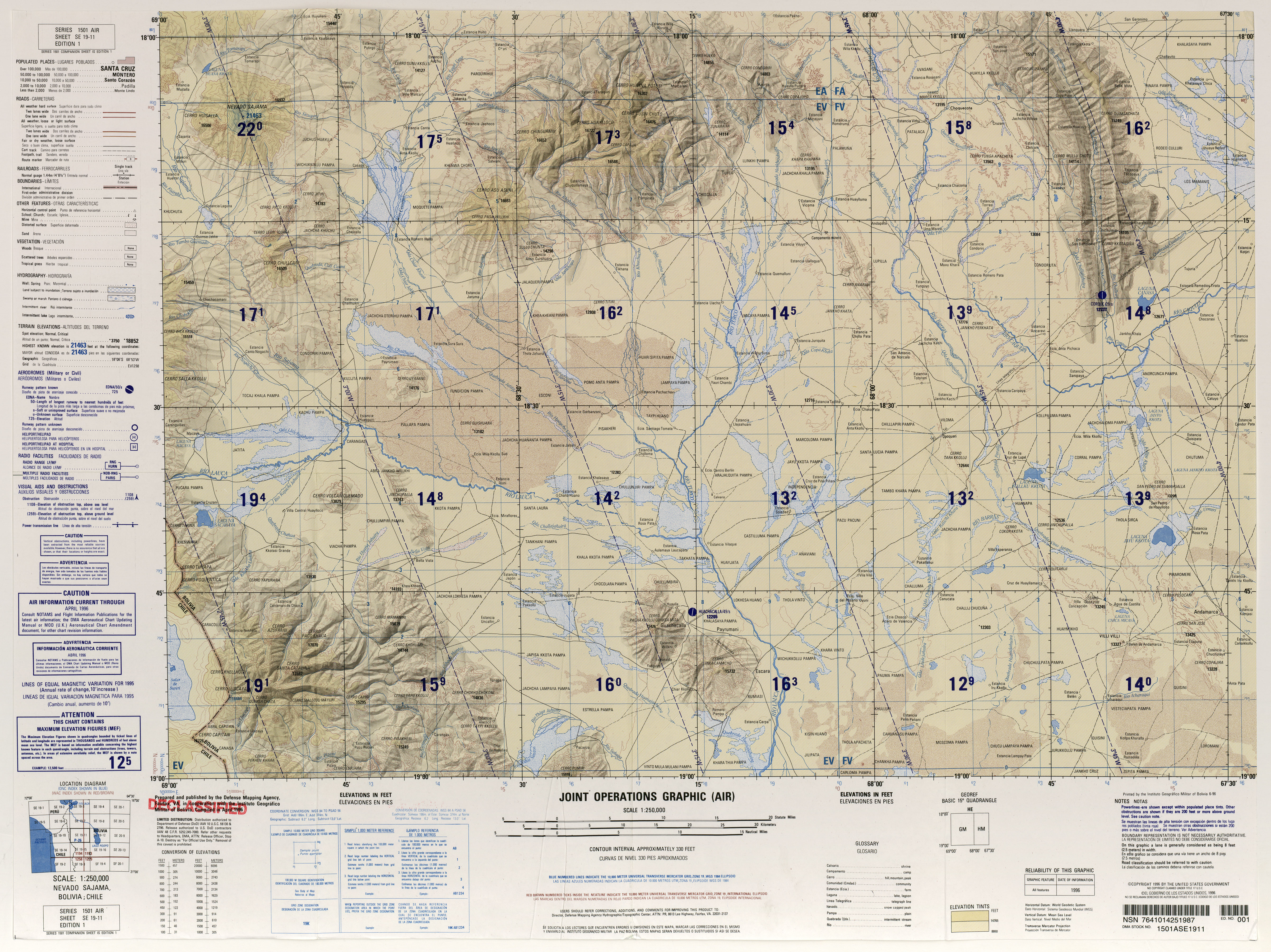
Tunapa is a central place in the canton of Tunapa in the district ( Bolivian : Municipio ) Sabaya in the province of Sabaya . The village is located at an altitude of 3765 m at the foot of the Cerro Chokho Chokoni (4522 m), about thirty kilometers south of the Río Lauca , which flows to the Salar de Coipasa salt lake .
geography
The climate in the region is semi-arid , the annual precipitation is only 200 mm (see climate diagram Sabaya). From April to November there is a dry season with monthly values of less than 10 mm of precipitation, the wet season in summer is short and the rain is not very productive. The annual average temperature is almost 7 ° C without significant fluctuations in the course of the year, but with strong daily fluctuations and frequent changes in frost .
The vegetation in the region corresponds to the semi-arid puna . It is treeless and mainly consists of thorn bushes , grasses , succulents and cushion plants . It is used economically as a llama , alpaca and sheep pasture .
Transport network
Tunapa is located at a distance of 209 kilometers by road southwest of Oruro , the capital of the department.
From Oruro, the unpaved highway Ruta 12 leads via Toledo , Ancaravi and Huachacalla to Esmeralda , and from there on via Sabaya to Pisiga on the Chilean border and to Colchane in Chile . In Esmeralda , a dirt road branches off to the west from Ruta 12 and leads via Yunguyo to Negrillos . Four kilometers before Negrillos , a road branches off to the south and reaches Tunapa after seven kilometers.
population
The population of the village has increased significantly in the past two decades:
| year | Residents | source |
|---|---|---|
| 1992 | 30th | census |
| 2001 | 95 | census |
| 2012 | 131 | census |
Due to the historically grown population distribution, the region has a high proportion of Aymara population, in the Municipio Sabaya 62.9 percent of the population speak the Aymara language .
Individual evidence
- ↑ Carola Dörrie, Soil and Vegetation in the Huachacalla Area (PDF; 22.9 MB)
- ^ INE - Instituto Nacional de Estadística Bolivia 1992
- ^ INE - Instituto Nacional de Estadística Bolivia 2001
- ↑ INE - Instituto Nacional de Estadística Bolivia 2012 ( Memento of the original from July 22, 2011 in the Internet Archive ) Info: The archive link has been inserted automatically and has not yet been checked. Please check the original and archive link according to the instructions and then remove this notice.
- ↑ INE social data (PDF; 12.2 MB)
Web links
- Overview map Nevado Sajama 1: 250,000 (8.8 MB)
- Municipio Sabaya - detailed map and population data (PDF; 807 kB) (Spanish)
- Municipio Sabaya - General Maps No. 40901
- Departamento Oruro - Social data ( Spanish ) (PDF; 5.86 MB)