Unterhombach
|
Unterhombach
City of Bergisch Gladbach
Coordinates: 50 ° 59 ′ 49 ″ N , 7 ° 10 ′ 25 ″ E
|
||
|---|---|---|
|
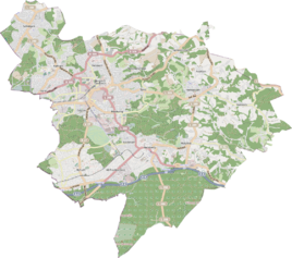
Location of Unterhombach in Bergisch Gladbach |
||
|
Unterhombach seen from the north
|
||
Unterhombach is a district in the Herrenstrunden district of Bergisch Gladbach .
history
The name Unterhombach refers to a probably early modern settlement with the name Hombach , which is recorded in the original cadastre west of Herkenrath in the area of today's street Hombacher Weg . To distinguish the settlements from the actual settlement name, the two neighboring settlements Unter (for Unterhombach) and Ober (for Oberhombach) were added. The old spelling "hohnbach" (hohn = Hagen = forest / Niederwald) describes the area surrounding the settlement with forests.
See also
Individual evidence
- ^ Andree Schulte, Bergisch Gladbach, city history in street names , published by the Bergisch Gladbach city archive, volume 3, and by the Bergisches Geschichtsverein department Rhein-Berg e. V., Volume 11, Bergisch Gladbach 1995, p. 193, ISBN 3-9804448-0-5

