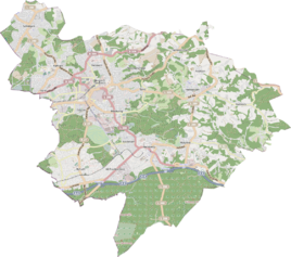
Breitenweg (Bergisch Gladbach)
|
Breitenweg
City of Bergisch Gladbach
Coordinates: 50 ° 59 ′ 49 ″ N , 7 ° 10 ′ 56 ″ E
|
||
|---|---|---|
|
Location of Breitenweg in Bergisch Gladbach |
||
|
View of Breitenweg
|
||
Breitenweg is a district in the Herrenstrunden district of Bergisch Gladbach south of Asselborner Hof . The location is connected to the local roads via the Hombachtal.
history
The village is located on the street of the same name, which is identical to the old traffic route from Herrenstrunden to Hombach . The name derives from the name of the tubs "On the uppermost broad way" and "On the lowest broad road" from the original cadastre .
The place is recorded on the topographical survey of the Rhineland from 1824 without a name and on the Prussian first survey of 1840 as Oberster Breitenweg and Unterster Breitenweg . From the Prussian new admission in 1892, it is regularly recorded as Breitenweg on measuring table sheets .
Mining
The Wilhelminenzeche mine was located about 300 m northeast of Breitenweg and about 300 m west of Bech on a slope sloping to the northwest . From her we see here is a Pinge of the air shaft , which one to weathering of the underlying Wilhelminen-tunnel drilled had. It is a registered ground monument .
Individual evidence
- ^ Andree Schulte: Bergisch Gladbach, city history in street names , published by the Bergisch Gladbach City Archives, Volume 3, and by the Bergisches Geschichtsverein department Rhein-Berg e. V., Volume 11, Bergisch Gladbach 1995, p. 183, ISBN 3-9804448-0-5


