Hombach (Bergisch Gladbach)
|
Hombach
City of Bergisch Gladbach
Coordinates: 50 ° 59 ′ 38 " N , 7 ° 10 ′ 42" E
|
||
|---|---|---|
|
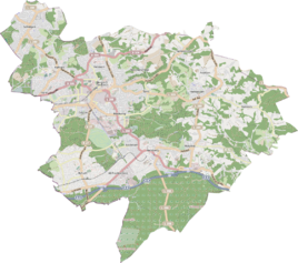
Location of Hombach in Bergisch Gladbach |
||
|
Hombach 2014
|
||
Hombach is a district in the Herkenrath district of Bergisch Gladbach .
history
Today's road Hombacher Weg between Ober - / Unterhombach and Herkenrath is recorded in the original cadastre as a connecting route with the name Weg from Hohnbach to Herkenrath (hohn = Hagen / Wald / Niederwald). Originally, the Hombach settlement consisted of a feudal courtyard belonging to the Herkenrath Fronhof. After a second court position was added in the early modern period , the defining word was differentiated with upper and lower . From the allocation of the pews in the order of those church benches here zo Herckenrath it is evident that the Hombacher Hof was a church property and thus belonged to the parish of Herkenrath.
According to the overview of the government district of Cöln , the place categorized as “farm goods” had twelve houses in 1845. At that time 76 people lived in the place, all of them Catholic faith.
See also
literature
- H. Jakob Schmitz: The millennial Herkenrath , Heider-Verlag, Bergisch Gladbach 1950
Individual evidence
- ^ Andree Schulte: Bergisch Gladbach, city history in street names , Bergisch Gladbach 1995, p. 203 ISBN 3-9804448-0-5
- ↑ Overview of the components and list of all the localities and individually named properties of the government district of Cologne: by districts, mayor's offices and parishes, with information on the number of people and the residential buildings, as well as the Confessions, Jurisdictions, Military and former state conditions. / ed. from the Royal Government of Cologne [Cologne], [1845]

