
Wakatobi
| Kabupaten Wakatobi Wakatobi Governorate
|
||
|---|---|---|
 |
||
| Symbols | ||
|
||
| Basic data | ||
| Country | Indonesia | |
| province | Sulawesi Tenggara | |
| Seat | Wangi-Wangi | |
| surface | 559.5 km² | |
| Residents | 114,726 (2019) | |
| density | 205 inhabitants per km² | |
| ISO 3166-2 | ID-SG | |
| Website | www.wakatobikab.go.id (Indonesian) | |
| politics | ||
| Bupati | H. Arhawi | |

Coordinates: 5 ° 20 ′ S , 123 ° 34 ′ E
Wakatobi is an Indonesian archipelago east of Sulawesi island .
geography
The archipelago has a land area of 496 km². The capital is Wangi-Wangi on the island of the same name Wangi-Wangi with Matahora Airport . The district also forms the Wakatobi National Park . For the 2010 census, 92,995 inhabitants were counted in the district.
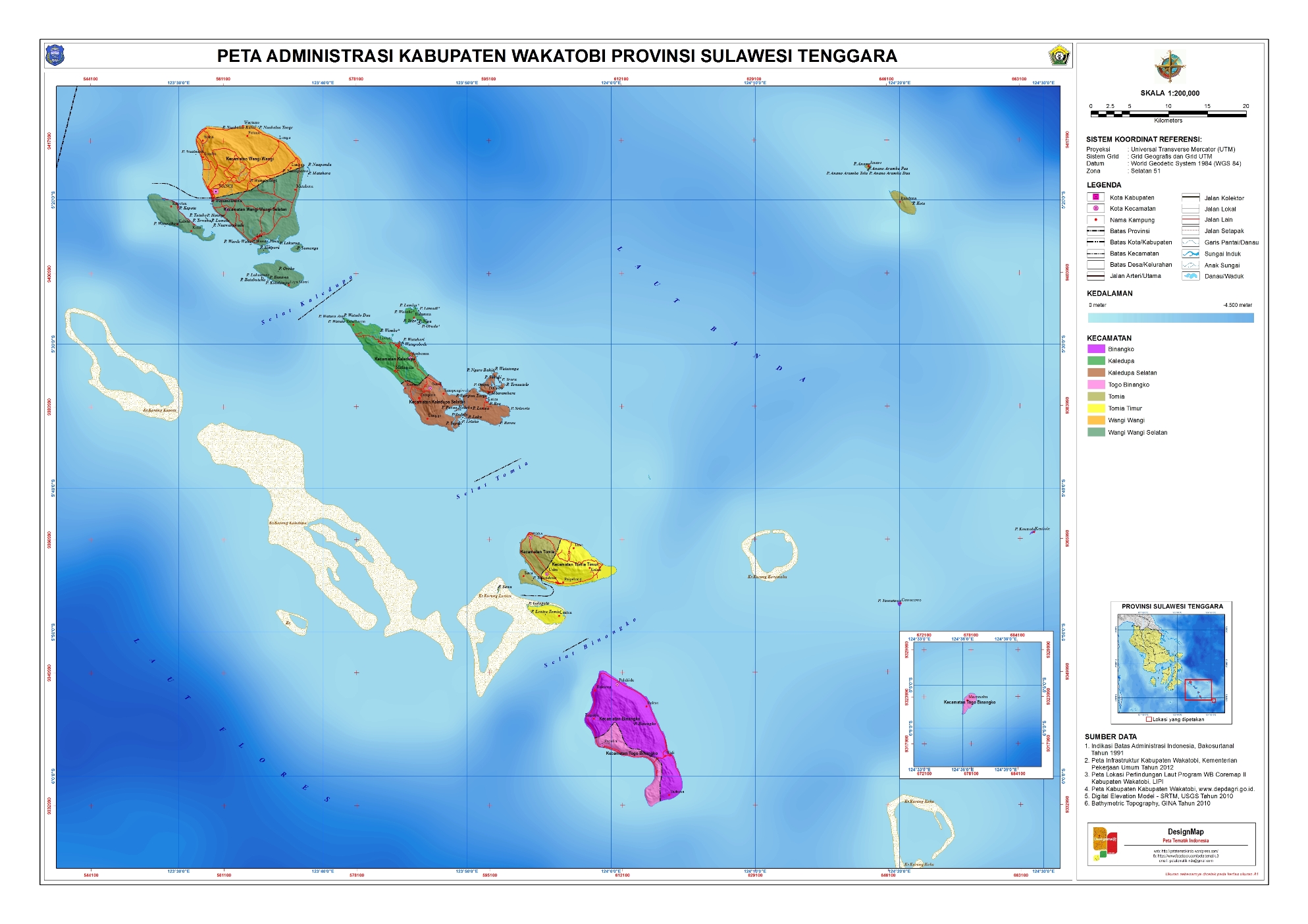
Administrative division
The administrative district ( Kabupaten ) Wakatobi, which belongs to the province of Sulawesi Tenggara ( southeast Sulawesi ), was spun off from the Buton district in December 2003 with five districts (by Law No. 29). Later three new districts were created through division: Binongko , Kaledupa Selatan and Tomia Timur . It consists of eight districts:
| Territory code code Wilayah |
Kecamatan District |
Capital Ibu kota |
Number of parishes | Area (km²) |
Population 2019 |
Population density (inh / km²) |
|
|---|---|---|---|---|---|---|---|
| Kelurahan (urban) |
Desa (rural) |
||||||
| 74.07.01 | Wangi-Wangi | Wanci | 6th | 14th | 83.68 | 28,638 | 342.2 |
| 74.07.02 | Kaledupa | Ambeua | 4th | 12 | 44.83 | 12,293 | 274.2 |
| 74.07.03 | Tomia | Waha | 2 | 8th | 40.43 | 8,108 | 200.5 |
| 74.07.04 | Binongko | Rukuwa | 4th | 5 | 75.43 | 10.306 | 136.6 |
| 74.07.05 | Wangi Wangi Selatan ( South Wangi Wangi ) | Mandate | 3 | 18th | 115.43 | 31,712 | 274.7 |
| 74.07.06 | Kaledupa Selatan ( Southern Kaledupa ) | Sandi | 10 | 55.53 | 8,513 | 153.3 | |
| 74.07.07 | Tomia Timur ( East Tomia ) | Usuku | 4th | 5 | 47.07 | 9,446 | 200.7 |
| 74.07.08 | Togo Binongko | Popalia | 2 | 3 | 33.56 | 5,710 | 170.1 |
| 74.07 Kab. Wakatobi | Wangi-Wangi | 25th | 75 | 559.54 | 114,726 | 205.0 | |
Source of the administrative and area data: Peraturan Menteri Dalam Negeri RI Nomor 72 Tahun 2019 (Ordinance of the Minister of the Interior of October 2019):
The population data are based on updates by the regional civil registration offices and are from the end of 2019
Web links
- E-books on the statistics page of the district (BPS - Badan Pusat Statistics Kabupaten Wakatobi) (Indonesian / English)
- 1: 200,000 scale administrative map of the district (Indonesian)
Individual evidence
- ↑ Sensus Penduduk 2010
- ↑ UU No. 29 TH 2003
- ↑ a b Visualisasi Data Kependudukan , clickable map
- ↑ Peraturan Menteri Dalam Negeri RI Nomor 72 Tahun 2019: page 3146, 3274
Administrative region: Bombana | Buton | Buton Selatan | Buton Tengah | Buton Utara | Kolaka | Kolaka Timur | Kolaka Utara | Konawe | Konawe Kepulauan | Konawe Selatan | Konawe Utara | Muna | Muna Barat | Wakatobi |
City: Construction-Construction | Kendari