Koláre: Difference between revisions
Content deleted Content added
Tag: Reverted |
m unapproved bot, blanking sections without removing headers |
||
| Line 14: | Line 14: | ||
==External links== |
==External links== |
||
*[https://web.archive.org/web/20080111223415/http://www.statistics.sk/mosmis/eng/run.html Statistical Office of the Slovak republic] |
|||
*[http://www.cisarik.com/0_Kolare_Velky_Krtis_BC_Hont_Hont.html'''Surnames''' of living people in Kolare] |
*[http://www.cisarik.com/0_Kolare_Velky_Krtis_BC_Hont_Hont.html'''Surnames''' of living people in Kolare] |
||
Latest revision as of 10:21, 29 September 2022

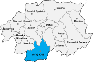
Koláre (Hungarian: Kóvár) is a village and municipality in the Veľký Krtíš District of the Banská Bystrica Region of southern Slovakia.
Genealogical resources[edit]
The records for genealogical research are available at the state archive "Statny Archiv in Banska Bystrica, Slovakia"
- Roman Catholic church records (births/marriages/deaths): 1787-1900 (parish B)
- Lutheran church records (births/marriages/deaths): 1721-1862 (parish B)
See also[edit]
External links[edit]
48°04′10″N 19°14′45″E / 48.06944°N 19.24583°E
