Koláre

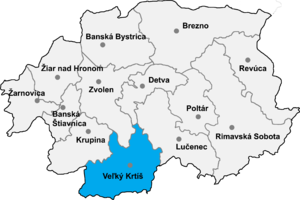
Koláre (Hungarian: Kóvár) is a village and municipality in the Veľký Krtíš District of the Banská Bystrica Region of southern Slovakia.
This is an old revision of this page, as edited by D6 (talk | contribs) at 04:30, 27 March 2009 (+ coor from hu:Kóvár). The present address (URL) is a permanent link to this revision, which may differ significantly from the current revision.

Koláre (Hungarian: Kóvár) is a village and municipality in the Veľký Krtíš District of the Banská Bystrica Region of southern Slovakia.
48°04′10″N 19°14′45″E / 48.06944°N 19.24583°E / 48.06944; 19.24583
This article about a location in the Veľký Krtíš District of Slovakia is a stub. You can help Wikipedia by expanding it. |