Artung
| Artungsee | ||
|---|---|---|
| Geographical location | Powiat Olsztyński , Warmian-Masurian Voivodeship , Poland | |
| Drain | Artungfließ → Pisa Warmińska → Wadąg → All → Pregel | |
| Location close to the shore | Nerwik , Leszno, Bartołty Wielkie | |
| Data | ||
| Coordinates | 53 ° 45 '24 " N , 20 ° 50' 37" E | |
|
|
||
| Altitude above sea level | 128 m | |
| surface | 29 hectares | |
| length | 2 km | |
| width | 500 m | |
| Maximum depth | 8 m | |
| Middle deep | 3 m | |
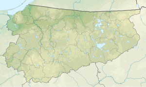
Artungsee ( Old Prussian : Nerdingyn ) is a 29 hectare channel lake , 1.8 km east of the village of Nerwik , in the Warmian-Masurian Voivodeship .
geography
Geographical location
The Artungsee is located in Gmina Purda east of the village of Nerwigk and near the towns of Barczewo (17 km), Biskupiec (20 km), Olsztyn (27 km) and Pasym (19 km).
The Artung river , which flows through Nerwik and flows into the Wardęga River, has its source in the bay on the southern shore of the lake .
geology
The landscape was shaped by the ice sheet and is a post-glacial, hilly, wooded ground moraine with numerous channel lakes and rivers. Characteristic for the area are numerous lakes, swamps, ponds as well as coniferous and mixed forests, which cover 53% of the municipality of Purda.
history
On February 2, 1392, the bishop of Warmia awarded Henry III. Sorbom the hand festivals on Lake Nerdingyn the old Prussian Nerweken for a service item of twelve hooves with nine interest-free years and two knight services.
