
Great scarcies
| Great Scarcies / Kolenté | ||
 Great Scarcies catchment area |
||
| Data | ||
| location |
|
|
| source |
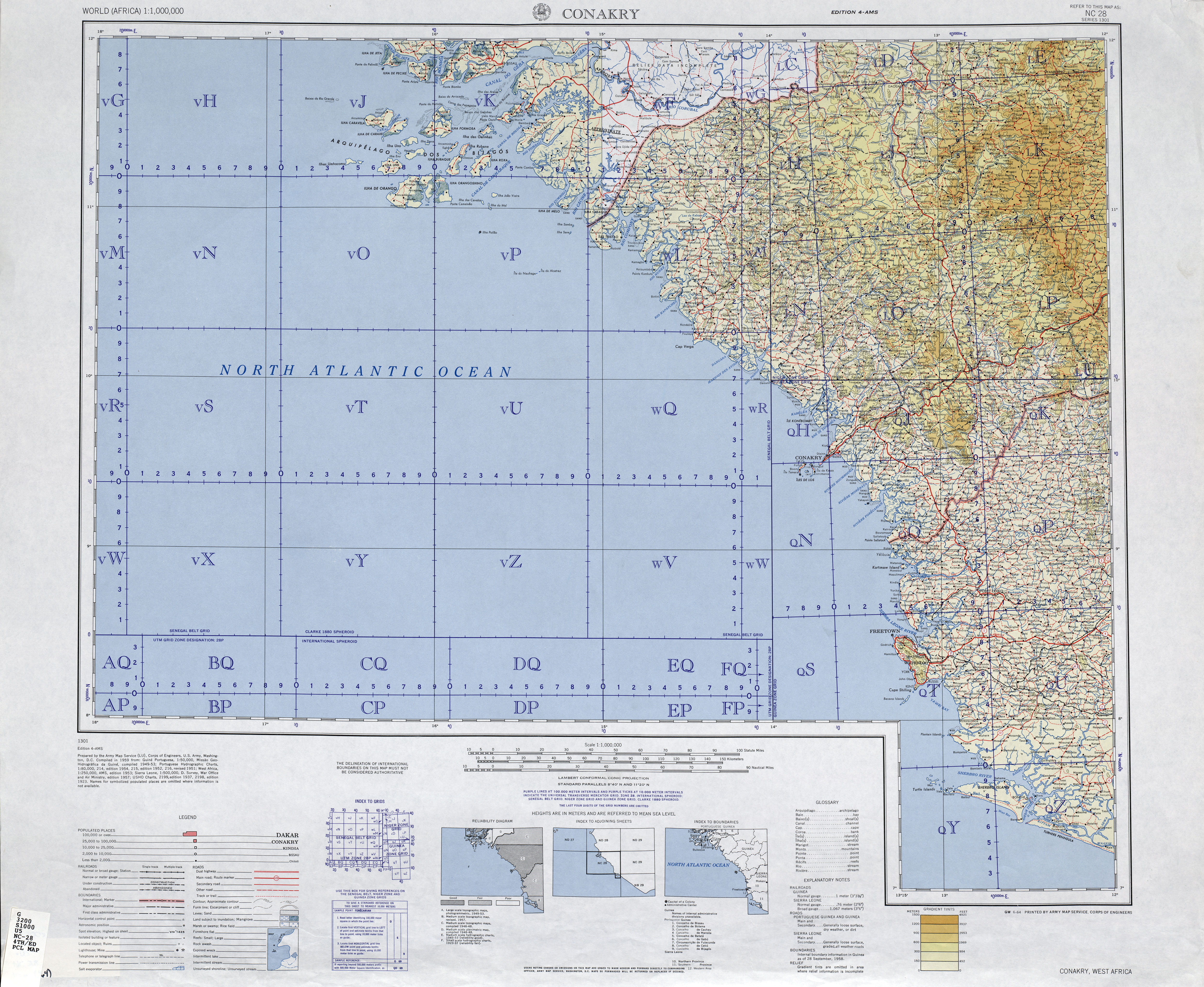
Fouta Djallon , Guinea 10 ° 25 ′ 28 " N , 12 ° 51 ′ 14" W. |
|
| Source height | 251 m | |
| muzzle |
Atlantic Ocean Coordinates: 8 ° 53 ′ 54 " N , 13 ° 10 ′ 17" W 8 ° 53 ′ 54 " N , 13 ° 10 ′ 17" W |
|
| Mouth height | 0 m | |
| Height difference | 251 m | |
| Bottom slope | 0.98 ‰ | |
| length | 257 km | |
| Catchment area | 8303 km² | |
| Left tributaries | Santa, Kilissi | |
| Right tributaries | Kora, Kolimi, Kuluma | |
| Residents in the catchment area | 515.933 | |
The Great Scarcies (Sierra Leone) or Kolenté (Guinea) is a river in West Africa .
course
The river has its source in the Fouta Djallon mountains , 40 kilometers north of Kindia in Guinea . It forms the natural border between Guinea and Sierra Leone for over 101 kilometers . It flows a further 72 kilometers only through the provinces of Northern and North West in Sierra Leone before it flows into the Atlantic .
The estuary is, together with the Little Scarcies , designated as a nature reserve or marine reserve.
The Great Scarcies, with its mangroves and floodplains, forms an important livelihood for the Temne and the towns of Kambia , Rokupr and Mambolo .
Individual evidence
- ↑ According to US General Staff maps
- ↑ Map 1 Sierra Leone's river basins. Salone Water Security. Retrieved October 16, 2019.
- ^ Transboundary River Basins, Status and Trends. United Nations Environment Program (UNEP), January 2016.
- ↑ a b Great Scarcies River. Encyclopædia Britannica. Retrieved January 24, 2018.
- ^ Scarcies River Estuary in Sierra Leone. Protected Planet / IUCN. Retrieved January 24, 2018.