Hasselsheide
|
Hasselsheide
City of Bergisch Gladbach
Coordinates: 50 ° 59 ′ 4 ″ N , 7 ° 13 ′ 14 ″ E
|
||
|---|---|---|
|
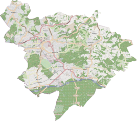
Location of Hasselsheide in Bergisch Gladbach |
||
|
Hasselheide seen from the west
|
||
Hasselsheide is a district in the Bärbroich district of Bergisch Gladbach .
history
The village of Hasselsheide is an early modern settlement after 1500, which is mentioned in the original cadastre as "Auf der Hasselsheide" west of Wüstenherscheid . In 1888 the Hasselsheider Hof was listed as a church property. The settlement name refers to the hazel bush .
Mining
West bordered pit Washington to Hassel Heide approach, which was in operation until the 1889th
Individual evidence
- ^ Andree Schulte: Bergisch Gladbach City History in Street Names , published by the Bergisch Gladbach City Archives, Volume 3, and by the Bergisch Geschichtsverein department Rhein-Berg e. V., Volume 11, Bergisch Gladbach 1995, p. 220 ISBN 3-9804448-0-5

