Wildphal
|
Wildphal
City of Bergisch Gladbach
Coordinates: 50 ° 58 ′ 50 ″ N , 7 ° 14 ′ 2 ″ E
|
||
|---|---|---|
|
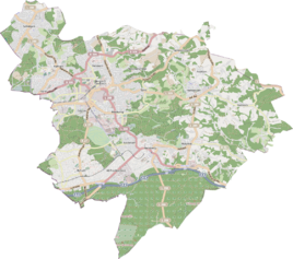
Location of Wildphal in Bergisch Gladbach |
||
Wildphal is a district in the Bärbroich district of Bergisch Gladbach .
history
The naming of Wildphal followed an early modern farmstead. It was located within the former municipality of Immekeppel and belonged to the parish association of the Bensberg branch church Immekeppel. Until 1905 it was a small hamlet with three buildings and 13 residents. The field name is derived from the Middle High German "phal" (= post, from the Latin palus ) and refers to a border post or boundary stone that determined the extent of a hunting area , that is, the ban on wild animals.
Mining
The Loisel mine was located in a sieve about 300 meters northeast of Wildphal .
Individual evidence
- ^ Andree Schulte: Bergisch Gladbach City History in Street Names , published by the Bergisch Gladbach City Archives, Volume 3, and by the Bergisch Geschichtsverein department Rhein-Berg e. V., Volume 11, Bergisch Gladbach 1995, p. 224 f. ISBN 3-9804448-0-5
