Juckerberg
|
Juckerberg
City of Bergisch Gladbach
Coordinates: 50 ° 58 ′ 15 ″ N , 7 ° 13 ′ 29 ″ E
|
||
|---|---|---|
|
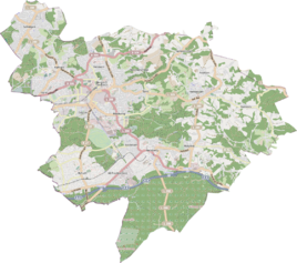
Location of Juckerberg in Bergisch Gladbach |
||
|
Juckerberg
|
||
Juckerberg is a district in the Bärbroich district of Bergisch Gladbach .
history
Juckerberg refers to the road connecting Dresherscheid and Külheimer Mühle . As a farm, together with the Juck farm, it was an early modern settlement founded after 1500. Juckerberg still belonged to the former municipality of Immekeppel in the 19th century . The pew rules of the church in Herkenrath from 1630 reserved a place for “the guit zuim jocke” . The settlement name Juck is synonymous with Jüch and denotes a high field. According to a second interpretation, it is a field measure and means the area that could be worked with a yoke of ox in one day. The to pit Apple owned mining concessions Columbus and Tilly, were on the road to
Mining
On the road to Juckerberg were the Columbus and Tilly mine fields belonging to the Apple mine . As part of the autarky movement of the Third Reich , experimental work was last carried out here from 1936 to 1937.
Individual evidence
- ^ Andree Schulte: Bergisch Gladbach City History in Street Names , published by the Bergisch Gladbach City Archives, Volume 3, and by the Bergisch Geschichtsverein department Rhein-Berg e. V., Volume 11, Bergisch Gladbach 1995, p. 221 ISBN 3-9804448-0-5

