Stockberg (Bergisch Gladbach)
|
Stockberg
City of Bergisch Gladbach
Coordinates: 50 ° 59 ′ 11 ″ N , 7 ° 13 ′ 51 ″ E
|
||
|---|---|---|
|
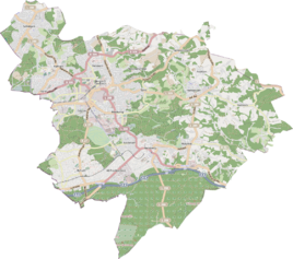
Location of Stockberg in Bergisch Gladbach |
||
|
Stockberg
|
||
Stockberg is a district in the Bärbroich district of Bergisch Gladbach .
history
Stockberg is a single settlement northeast of Bärbroich with a narrow driveway on the way from Bärbroich to Oberselbach . The name is an oral field name that was entered in the street directory in 1962. The defining word stick has several meanings: It describes a tree stump or a coniferous forest that has sprouted from tree stumps. But it can also refer to a wayside shrine (= statue of a saint) or a border post.
Mining
In the vicinity of Stockberg, the Elisa mine was located in difficult to access terrain .
Individual evidence
- ^ Andree Schulte: Bergisch Gladbach City History in Street Names , published by the Bergisch Gladbach City Archives, Volume 3, and by the Bergisch Geschichtsverein department Rhein-Berg e. V., Volume 11, Bergisch Gladbach 1995, p. 224 ISBN 3-9804448-0-5

