Ottoherscheid
|
Ottoherscheid
City of Bergisch Gladbach
Coordinates: 50 ° 58 ′ 41 ″ N , 7 ° 12 ′ 57 ″ E
|
||
|---|---|---|
|
Location of Ottoherscheid in Bergisch Gladbach |
||
|
Street in Ottoherscheid
|
||
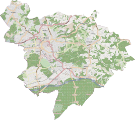
Ottoherscheid is a district in the Bärbroich district of Bergisch Gladbach .
history
The town of Ottoherscheid is a medieval settlement name that is recorded in the original cadastre as Otto Herscheid . The basic word herscheid is also used in the settlement names Dresherscheid and Wüstenherscheid . It can be deduced from the earlier form Haenscheid . Haen represents a subsidiary form of "Hain / Hohn" (in field names = enclosed forest), while "Scheid" generally denotes a border (also wooded elevation). As a result, herscheid can be interpreted as a tree line or border forest .
According to the survey of the government district of Cöln , the place categorized as “ farm property ” had four houses in 1845. At that time there were 41 people living in the village, all of them Catholic.
Individual evidence
- ^ Andree Schulte: Bergisch Gladbach City History in Street Names , published by the Bergisch Gladbach City Archives, Volume 3, and by the Bergisch Geschichtsverein department Rhein-Berg e. V., Volume 11, Bergisch Gladbach 1995, p. 223 ISBN 3-9804448-0-5
- ↑ Overview of the components and list of all the localities and individually named properties of the government district of Cologne: by districts, mayor's offices and parishes, with information on the number of people and the residential buildings, as well as the Confessions, Jurisdictions, Military and former state conditions. / ed. from the Royal Government of Cologne [Cologne], [1845]

