Long Mountain
Coordinates: 20 ° 9 ′ S , 57 ° 34 ′ E
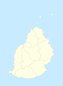
Long Mountain (or: Montagne Longue) is a place ("Village") in the north of Mauritius . It is part of the Pamplemousses district and administratively belongs to the Village Council Area (VCA) Long Mountain. At the 2011 census, the place had 6,995 inhabitants.
The place is located in a mountainous area east of the capital Port Louis . The name of the place is derived from the mountain of the same name, Long Mountain , which lies like a locking bolt between Port Louis and Long Mountain. Due to its proximity to the capital, the place was one of the first parts of the island to be cultivated.
With the decree of King Louis XV. on August 1, 1768, the island was first subdivided into districts . Louis XV divided the island into 11 quarters . One of these quarters was the Montagne Longue quarter. As early as 1773, the number of districts with royal ordinance was reduced to 8 and Long Mountain lost the status of a district capital.
The first sugar factory in Long Mountain was set up by François de Chazal.
The Long Mountain Football Playground is a football stadium on site.
The chapel Chapelle Sainte Thérèse in Long Mountain belongs to the parish of Notre Dame de la Délivrande in Notre Dame near Montagne Longue.
literature
- Benjamin Moutou: Pamplemousses - Rivière du Rempart - Quatre siècles d'histoire, 2006, ISBN 978-99903-992-9-5 , SS 328–329
Individual evidence
- ↑ Statistics Mauritius: Housing and population census 2011 , Volume II: Demographic and fertility characteristics , p. 71, statsmauritius.govmu.org (PDF)
- ^ Page of the parish of Notre-Dame-de-la-Délivrande
