Pamplemousses
Coordinates: 20 ° 7 ′ S , 57 ° 35 ′ E
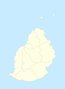
Pamplemousses is a place ("Village") in the north of Mauritius . It is part of the Pamplemousses district of the same name and administratively belongs to the Village Council Area (VCA) Pamplemousses. At the 2011 census, the place had 9,295 inhabitants. Pamplemousses is on the M2 motorway .
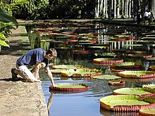
The village is known for the Sir Seewoosagur Ramgoolam Botanical Garden , a botanical garden laid out in 1756 . The complex of Catholic church, rectory and cemetery near the main entrance to the botanical garden is also of cultural and historical significance .
The Sir Seewoosagur Ramgoolam Hospital in Pamplemousses, inaugurated in August 1969, is the largest hospital in Mauritius.
Web links
Commons : Pamplemousses - collection of images, videos and audio files
Individual evidence
- ↑ Statistics Mauritius: Housing and population census 2011 , Volume II: Demographic and fertility characteristics , p. 71, statsmauritius.govmu.org (PDF)
- ^ District Council Pamplemousses: SSR Hospital

