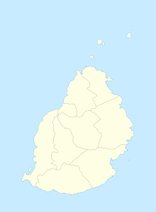
Morcellement St. André
Coordinates: 20 ° 4 ′ S , 57 ° 34 ′ E
Morcellement St. André is a place ("Village") in the north of Mauritius . It is part of the Pamplemousses district and administratively belongs to the Village Council Area (VCA) Morcellement St. André. At the 2011 census, the place had 5,750 inhabitants.
St. André was originally a sugar cane plantation and sugar factory. The plantation covered an area of 1551 arpents . The factory had to close in 1877 due to the collapse of world sugar market prices. The fallow land was then partly farmed by the former plantation workers on their own. On October 20, 1913, these smallholders formed a cooperative, the Morcellement Co-Operative Credit Society Lim. Since 1967 there is a mosque of the Zinat el Islam. There is also a Hindu temple in the village.
literature
- Benjamin Moutou: Pamplemousses - Riviére du Rempart - Quatre siécles d'histoire, 2006, ISBN 978-99903-992-9-5 , pp. 290-291
Individual evidence
- ↑ Statistics Mauritius: Housing and population census 2011 , Volume II: Demographic and fertility characteristics , p. 71, statsmauritius.govmu.org (PDF)
