Notre Dame (Mauritius)
Coordinates: 20 ° 8 ′ S , 57 ° 34 ′ E
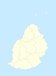
Notre Dame is a place ("Village") in the north of Mauritius . It is part of the Pamplemousses district and administratively belongs to the Village Council Area (VCA) Notre Dame. At the 2011 census, the place had 4,216 inhabitants.
The name Notre Dame is derived from the parish Notre Dame de la Délivrande . The parish church of Notre-Dame-de-la-Délivrande in Notre Dame was consecrated in 1864. The chapel Chapelle Sainte Thérèse in Long Mountain and the Chapelle Saint Victor in Industrie also belong to the parish . The church with the eye-catching hexagonal steeple is the successor to a chapel from 1848.
literature
- Benjamin Moutou: Pamplemousses - Rivière du Rempart - Quatre siècles d'histoire, 2006, ISBN 978-99903-992-9-5 , pp. 329-331
Individual evidence
- ↑ Statistics Mauritius: Housing and population census 2011 , Volume II: Demographic and fertility characteristics , p. 71, statsmauritius.govmu.org (PDF)
- ^ Page of the parish of Notre-Dame-de-la-Délivrande
