Plaine des papayes
Coordinates: 20 ° 4 ′ S , 57 ° 35 ′ E
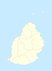
Plaine des Papayes is a place ("Village") in the north of Mauritius . It is part of the Pamplemousses district and administratively belongs to the Village Council Area (VCA) Plaine des Papayes. At the 2011 census, the place had 7,607 inhabitants. The districts of Bois Mangues, Belle Vue Harel and Butte aux Papayes belong to the VCA Plaine des Papayes.
The Anjalay Stadium in Belle Vue Harel (directly on the M2 motorway ) is mainly used as a football stadium. The stadium with an area of 53 arpents holds 17,262 visitors and was inaugurated on January 26, 1991.
In 1998 the Swami Dayanand Institute of Management opened , a college with 600 students specializing in computer science and management. In 1958 the Secondary School Friendship College was founded by Dayachand Nepal.
literature
- Benjamin Moutou: Pamplemousses - Riviére du Rempart - Quatre siécles d'histoire, 2006, ISBN 978-99903-992-9-5 , pp. 305-307
Individual evidence
- ↑ Statistics Mauritius: Housing and population census 2011 , Volume II: Demographic and fertility characteristics , p. 71, statsmauritius.govmu.org (PDF)
