
Lugauer
| Lugauer | ||
|---|---|---|
 Lugauer main summit (southwest summit) from the lower northeast summit |
||
| height | 2217 m above sea level A. | |
| location | Styria , Austria | |
| Mountains | Gesäuse , Ennstal Alps | |
| Dominance | 6.3 km → Hochtor | |
| Notch height | 661 m ↓ Gspitzter Stein | |
| Coordinates | 47 ° 33 '18 " N , 14 ° 43' 31" E | |
|
||
| rock | Dachstein Limestone | |
| Age of the rock | Norium - Rhaetium | |
| Normal way | Southwest ridge | |
 The north-east summit of the Lugauer |
||

The Lugauer is 2217 m above sea level. A. high mountain in the Ennstal Alps in Styria on the southeastern edge of the Gesaeuse and the Gesaeuse National Park . At the foot of the mountain lies the town of Radmer in the south and Hieflau in the northeast .
Surname
The name “Lugauer” is derived from the dialect words “lugen” (look) and “auer” (down). “Look down!” Obviously refers to the promising, remote position south of the high-gate train .
Location and structure
The free-standing rock structure has a double peak , south-west ( 2217 m ) and north-east peaks ( 2206 m ) are separated by the Lugauerscharte ( 2152 m ). In the southwest, a pronounced, evenly sloping steep slope, the so-called “Lugauerplan”, runs from the summit to the valley of the Haselkar with the Gspitzten-Stein-Sattel. This connects the Lugauer with the Haselkogel in the Gsuchmauer massif. On its broad south-east side, the Lugauer falls in the up to 1000 meter high south-east face into the Radmertal . The triangular and around 600 meter high north face framed by the north-west and north-east ridge makes the Lugauer appear as a steep rock pyramid from the north-east. Because of this shape, the mountain is sometimes referred to as the “Styrian Matterhorn”.
The Lugauer is made up of a mighty clod of banked Dachstein limestone , which, however, does not lie flat, but rather drops very steeply to the northwest, giving the mountain its characteristic character. The Dachstein limestone is clearly northward against Allgäu layers and Schrambachschichten limited at the high cushion. At the base of Ramsaudolomit there is a larger area with the Hasel Mountains and Werfen layers towards the southeast . The transition to the Grauwackenzone already runs at the foot of the mountain .
Tourist development
The two peaks of the Lugauer were climbed by locals early on. The first documented ascent took place in the course of land surveying in 1810/11 under the leadership of Lieutenant von Egger . The north-east summit of the Lugauer was set as the first-order insurance point. Wilhelm Schleicher from Gresten was the first tourist to reach the Lugauer summit and reported on his tour in the yearbook of the Austrian Alpine Association in 1867. He and a friend climbed from the Scheucheggalm over the north-west flank to the summit and descended via the Lugauerplan.
The ascent through the 1000 m high south-east face of the Lugauer was probably first carried out by local hunters. The easiest route runs in the area of the chimney , a continuous chimney-like crack in the rock that runs down from the Lugauerscharte. Alois Faschingbauer is said to have been the first tourist to have done this tour at the beginning of the 1870s , although he did not publish a report. On the other hand, Emanuel Witlaczil's ascent on July 18, 1895 is well documented. Just one year later, Heinrich Hess , Moritz von Statzer , Rudolf Pinker and Johann Mach repeated the tour on a modified route. On August 2, 1896, Heinrich Pfannl , Franz X. Kleinwächter and Alfred von Radio-Radiis also reached the summit for the first time via the northeast ridge.
Climbs
The main summit is easiest to reach via the Lugauerplan; Surefootedness and a head for heights are a prerequisite for the subsequent, partially exposed ridge to the summit . The ascent to the northeast summit ( 2206 m ) from the north and the path between the northeast and main summit are somewhat more demanding . This makes it possible to traverse the east-west from Vorderradmer ( Radmer an der Stube) over both peaks, the Lugauerplan and the “Gspitzter Stein” saddle to Hinterradmer ( Radmer an der Hasel ). Plan to walk for at least six to seven hours. The climbs from Hieflau or from the Hesshütte are longer .
The south-east and west walls of the Lugauer offer numerous classic climbing routes of all levels of difficulty.
The Lugauerplan is also a popular winter destination for ski tourers .
literature
- Willi End : Gesäuse mountains. A guide for valleys, huts and mountains (= Alpine Club Guide. Nördliche Kalkalpen series. ). Bergverlag Rudolf Rother, Munich 1988, ISBN 3-7633-1248-X .
Web links
Individual evidence
- ^ Federal Office for Metrology and Surveying Austria: Austrian Map online (Austrian map 1: 50,000) .
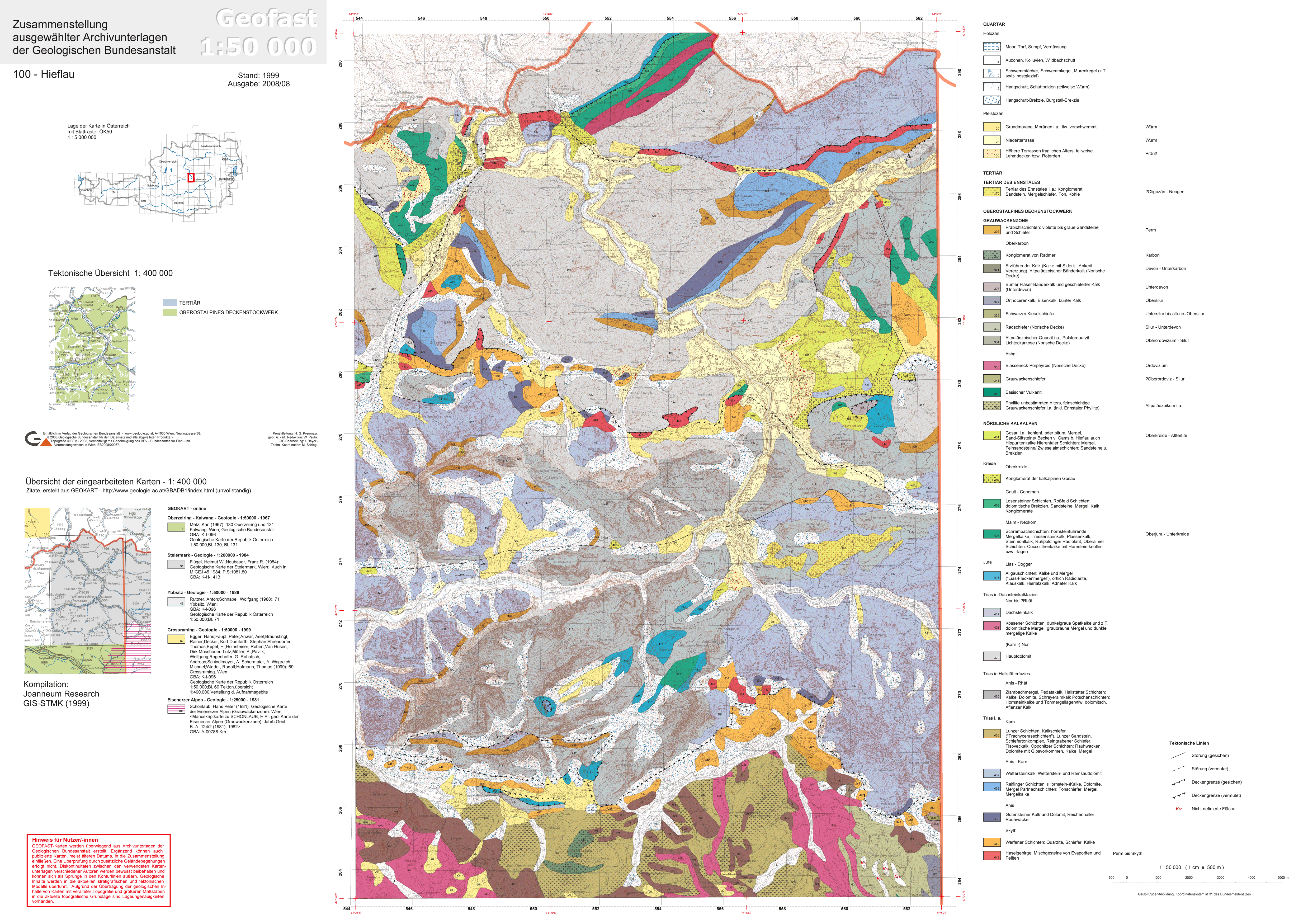
- ↑ Provisional Geological Map of the Republic of Austria 1: 50,000, published by the Federal Geological Institute , Vienna 2008/09, sheet 100 Hieflau
- ^ Josef Hasitschka: The Lugauer - a historical survey point. In: In the Gseis. Spring 2005, ZDB -ID 2137549-5 , pp. 24-25 .
- ↑ William Schleicher: The Luegauer. In: Yearbook of the Austrian Alpine Association. Vol. 3, 1867, ZDB -ID 511831-1 , pp. 32-36 .
- ^ Emanuel Witlaczil: Lugauer over the southeast face. In: Messages from the German and Austrian Alpine Club. NF Vol. 11 = Vol. 21, 1895, p. 250 .