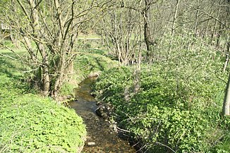
Oslavička (river)
| Oslavička | ||
| Data | ||
| location | Czech Republic | |
| River system | Danube | |
| Drain over | Oslava → Jihlava → Svratka → Thaya → March → Danube → Black Sea | |
| source | east of Benetice 49 ° 17 ′ 57 " N , 15 ° 52 ′ 41" E |
|
| Source height | 612 m nm | |
| muzzle | South of Velké Meziříčí in the Oslava Coordinates: 49 ° 20 ′ 5 " N , 16 ° 1 ′ 44" E 49 ° 20 ′ 5 " N , 16 ° 1 ′ 44" E |
|
| Mouth height | 428 m nm | |
| Height difference | 184 m | |
| Bottom slope | 12 ‰ | |
| length | 15.3 km | |
The Oslavička is a right tributary of the Oslava in the Czech Republic .
geography
The Oslavička rises one kilometer east of Benetice at the foot of the Skalníky hill ( 642 m ) in the Arnolecké hory in the Třebíčsko Nature Park. The stream first flows east, past Horní Vilémovice and Hroznatín , to Vlčatín . Here the Náměšť nad Oslavou - Velké Meziříčí railway follows its further course towards the northeast. In Oslavička the Oslavička feeds the Oslavičský rybník pond and subsequently the Benetínský rybnik at Ovčírna . Past Oslavice the Oslavička reaches the Oslavice after 15.3 kilometers south of Velké Meziříčí. The deeply cut valley of Nesměřské údolí begins below its confluence .
The Oslavička has no noteworthy tributaries.
