
Eastern Slovakia lowlands
Coordinates: 48 ° 30 ′ 0 ″ N , 22 ° 0 ′ 0 ″ E


The East Slovak Lowland (Východoslovenská nížina) is the name of the part of the Great Hungarian Plain that lies on the territory of Slovakia . It is part of the Eurasian steppe belt of a large vegetation zone .
It is located in the south-east of the country and largely corresponds to the traditional region " Unter-Semplin ". Its deepest points have heights of 90 to 100 meters above the sea.
To demarcate the lowlands
The plain - which is called Alföld in Hungarian and is mainly drained by tributaries of the Tisza and Bodrog - extends from the Slanské vrchy to the east ( Trebišov , Michalovce ).
Geomorphologically and on the satellite image , the East Slovakian Plain appears as the northeastern extension of the Alföld, whose parallel valleys are narrowed laterally in the area north of the triangle (Medzibodrožie, Bodrogköz).
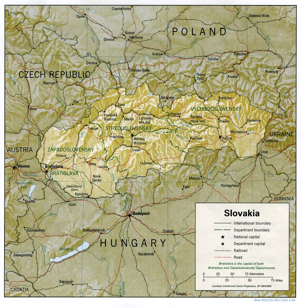
Administratively, the Slovak part of the Plain belongs mainly to the Region Košický kraj (around Kassa ), and only small parts of the north subsequent Prešovský kraj (southeastern outskirts of the city Vranov nad Topľou ).
Rivers
Apart from the catchment area of the Poprad River , almost all of eastern Slovakia is drained over the lowlands to the south to the Tisza and Danube.
See also: List of rivers in Slovakia
The main rivers of the Eastern Slovak Lowlands are the Ondava and Latorica . The south-flowing Latorica and Ondava unite to form the Bodrog , which flows into the Tisza about 40 km beyond the Hungarian border at Tokaj .
The climate and the two large swimming lakes
The climate is dominated by the continental character: dry and hot summers and damp and cold winters. On the hilly edges of the lowlands there is about 100 days of snow a year , but the January monthly mean air temperature in lower elevations is just below zero. In July and August, daily averages of 30 ° C can be exceeded.
From Košice in the direction of Ukraine, the sunshine duration is unusually long between 2,000 and 2,300 hours per year, which also benefits tourism at the large Zemplínska šírava swimming lake .
See also
- List of traditional regions of Slovakia
- An old topographic map
- Istituto Geografico de Agostini, Large World Atlas , Munich / Novara 1985.