Roßkopf (Mangfall Mountains)
| Rosskopf | ||
|---|---|---|
|
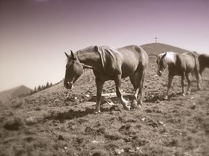
Horses on the Roßkopf |
||
| height | 1579.9 m | |
| location | Germany ( Bavaria ) | |
| Mountains | Bavarian Prealps ( Mangfall Mountains ) | |
| Coordinates | 47 ° 39 '24 " N , 11 ° 51' 48" E | |
|
|
||
|
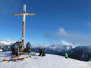
Summit of the Roßkopf in winter - in the background the Rotwand on the left and the Hintere Sonnwendjoch on the right |
||
The Roßkopf is a 1,580 meter high mountain in the Mangfall Mountains in Upper Bavaria . It is located in the southern district of Miesbach exactly on the border between the municipalities of Schliersee in the east and Rottach-Egern in the west, which forms the watershed between Schliersee and Tegernsee . Further elevations on this line are Stümpfling , Bodenschneid and the Rinnerspitz further north and Rotkopf and Stolzenberg south. There is a summit cross on the grassy summit of the Roßkopf.
The mountain is climbed by hikers in summer and autumn and by ski tourers in winter . The 2-seater chairlift of the Spitzing ski area ends a few meters below the summit. From there the summit can easily be climbed. The Valepp can be descended via the Grünseabfahrt.


