Black miss
| Black miss | |||
|---|---|---|---|
|
Pass summit, view in east direction |
|||
| Compass direction | northwest | east | |
| Pass height | 933 m above sea level NHN | ||
| state | Baden-Württemberg | ||
| Watershed | Murg → Rhine | Enz → Neckar → Rhine | |
| Valley locations | Hilpertsau | Sprollenhaus | |
| expansion | Link road L 76b | ||
| Mountains | Black Forest | ||
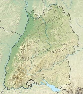
| Map (Baden-Württemberg) | |||
|
|
|||
| Coordinates | 48 ° 42 '51 " N , 8 ° 25' 30" E | ||
The Schwarzmiss is a pass summit ( 933 m above sea level ) between the Murg and Enz valleys in the northern Black Forest .
The pass is named after the neighboring Schwarzmiss (also called Schwarzmüss on maps), a raised bog ( called Miss here ), from which the source streams of the Kegelbach stream leading to the Enz arise. The pass crosses a main ridge of the Black Forest that runs in a north-south direction (Langmartskopf – Hohloh – Schramberg) .
A little east of the pass, the associated pass road crosses the hamlet of Kaltenbronn , and one kilometer southwest of the pass is the summit of the Hohloh ( 988 m above sea level ) with the Hohlohturm.
There are several large parking spaces at the pass itself and nearby, which are signposted with capital letters (A – G). These parking spaces are a year-round starting point for those looking for relaxation , hikers , summer and winter sports enthusiasts . In winter, for example, the car park at the top of the pass is the starting point for several cross-country skiing trails that run on the ridge between Dobel and Besenfeld . The eleven kilometer long ascent from the Murg Valley with 750 m difference in altitude and a central section that is up to 12% steep is a popular endurance test for racing cyclists .

