
Tambo Quemado
| Tambo Quemado | |||
|---|---|---|---|
 Line of trucks waiting for the border crossing at Tambo Quemado |
|||
| Basic data | |||
| Residents (state) | 418 pop. (2012 census) | ||
| height | 4357 m | ||
| Post Code | 04-0402-0370-5001 | ||
| Telephone code | (+591) | ||
| Coordinates | 18 ° 17 ′ S , 69 ° 0 ′ W | ||
|
|||
| politics | |||
| Department | Oruro | ||
| province | Sajama Province | ||
| climate | |||
 Climate diagram Tambo Quemado |
|||

Tambo Quemado is a town in the Oruro Highlands department of the South American Andean state of Bolivia .
location
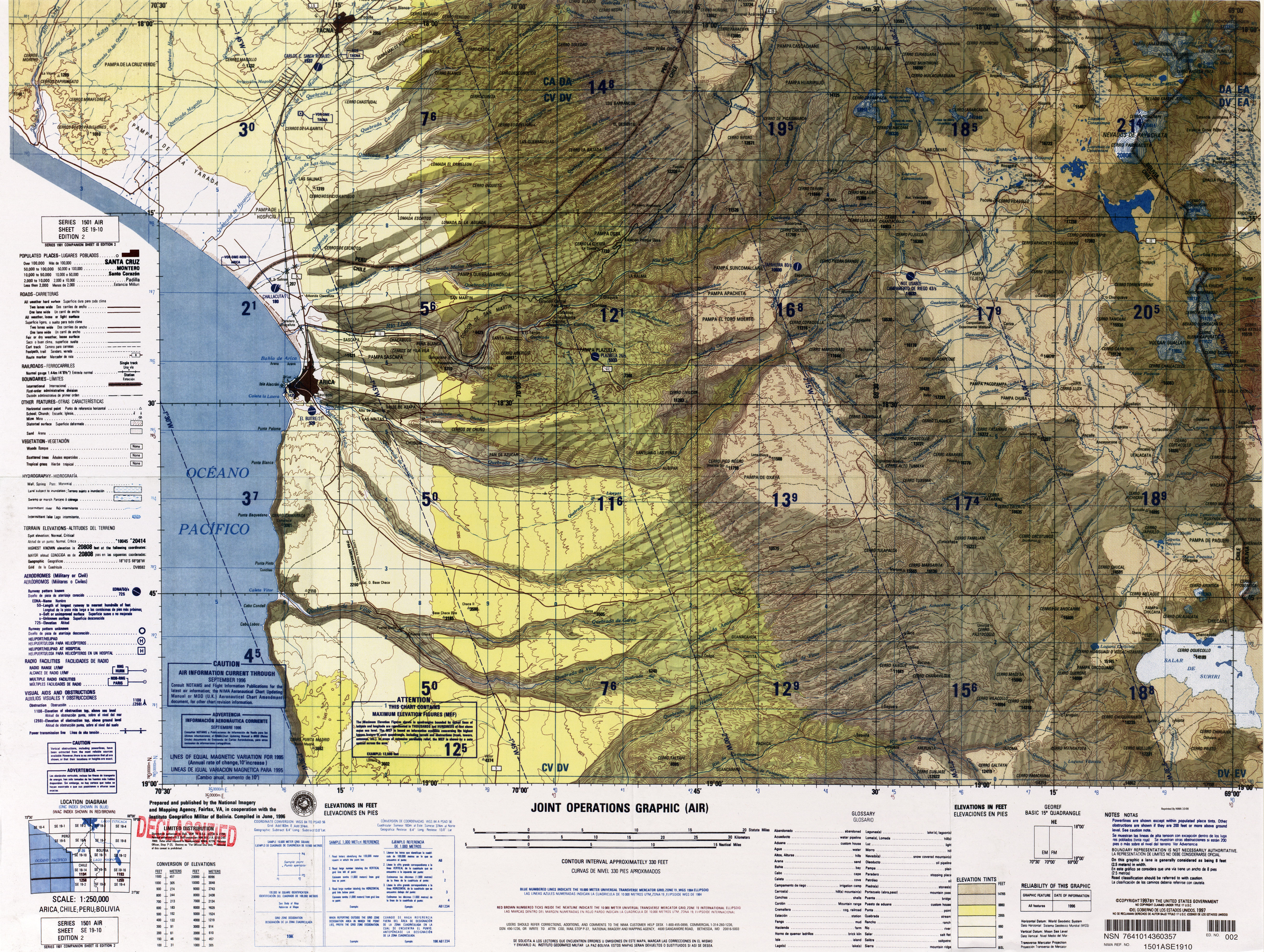
Tambo Quemado is the largest town in the canton of Lagunas , one of three cantons in the municipality of Curahuara de Carangas in the province of Sajama . Tambo Quemado is located on the western edge of the Oruro department at an altitude of 4351 m on the border with Chile . To the northwest of Tambo Quemado in the Lauca National Park lies the cone of the Parinacota volcano (also known as Tambo Quemado volcano ) with an altitude of 6358 m, about 20 km away . To the west, the highway to Chile overcomes a pass height of 4680 m. To the northeast is the Sajama National Park with the highest mountain in Bolivia. The Chilean side is hardly populated, so the intensively used border crossing Paso Chungará-Tambo Quemado on the Chilean side is named after Lake Chungará .
geography
Tambo Quemado is located on the Bolivian Altiplano on the eastern slopes of the Andes mountain range of the Cordillera Occidental .
The mean average temperature of the region is around 5 ° C, the annual precipitation is only around 200 mm (see climate diagram). The region has a distinct daytime climate, the monthly average temperatures fluctuate only slightly between 1 ° C in June / July and a good 6 ° C from November to March. The monthly precipitation is below 10 mm from April to October and reaches its maximum in the months of December to March.
Transport network
Tambo Quemado is located at a distance of 234 kilometers by road west of Oruro , the capital of the department of the same name. To the west you can quickly reach the Chilean border from here. From there the road leads past the Parinacota volcano over the Ruta 11 in serpentines downwards towards the Pacific coast , for example to Arica .
From Tambo Quemado, the 1,657 km long national road Ruta 4 leads east. The first section of Ruta 4 leads 376 kilometers via Curahuara de Carangas to Cochabamba , from there another 473 kilometers further east to the metropolis of Santa Cruz , and the last section over about 800 kilometers leads from there in a south-easterly direction to Puerto Busch im The border triangle of Bolivia, Brazil and Paraguay .
In Curahuara de Carangas the national road Ruta 31 branches off in an easterly direction from Ruta 4 and leads over Totora and Huayllamarca for 141 kilometers to Oruro.
population
The population of the village has increased by around a third in the past decade:
| year | Residents | source |
|---|---|---|
| 1992 | . | census |
| 2001 | 305 | census |
| 2012 | 418 | census |
Due to the historical population development, the region has a high proportion of Aymara population, in the municipality of Curahuara 83.7 percent of the population speak the Aymara language .
Individual evidence
- ^ INE - Instituto Nacional de Estadística Bolivia 1992
- ^ INE - Instituto Nacional de Estadística Bolivia 2001
- ↑ INE - Instituto Nacional de Estadística Bolivia 2012 ( Memento of the original from July 22, 2011 in the Internet Archive ) Info: The archive link has been inserted automatically and has not yet been checked. Please check the original and archive link according to the instructions and then remove this notice.
- ↑ INE social data (PDF; 12.2 MB)
Web links
- Raised relief map Arica 1: 100,000 (PDF; 6.4 MB)
- Municipio Curahuara de Carangas - detailed map and population data (PDF; 679 kB) ( Spanish )
- Departamento Oruro - Social data ( Spanish ) (PDF; 5.86 MB)