
Thola Khollu
| Thola Khollu | |||
|---|---|---|---|
| Basic data | |||
| Residents | 32 pop. | ||
| height | 4232 m | ||
| Post Code | 02-1902-0300-3001 | ||
| Telephone code | (+591) | ||
| Coordinates | 17 ° 14 ′ S , 69 ° 33 ′ W | ||
|
|||
| politics | |||
| Department | La Paz | ||
| province | José Manuel Pando Province | ||
| climate | |||
 Climate diagram Charaña |
|||

Thola Khollu (also: Thola Khollo or Tolacollo ) is a town in the La Paz department in the South American Andean state of Bolivia .
Location in the vicinity
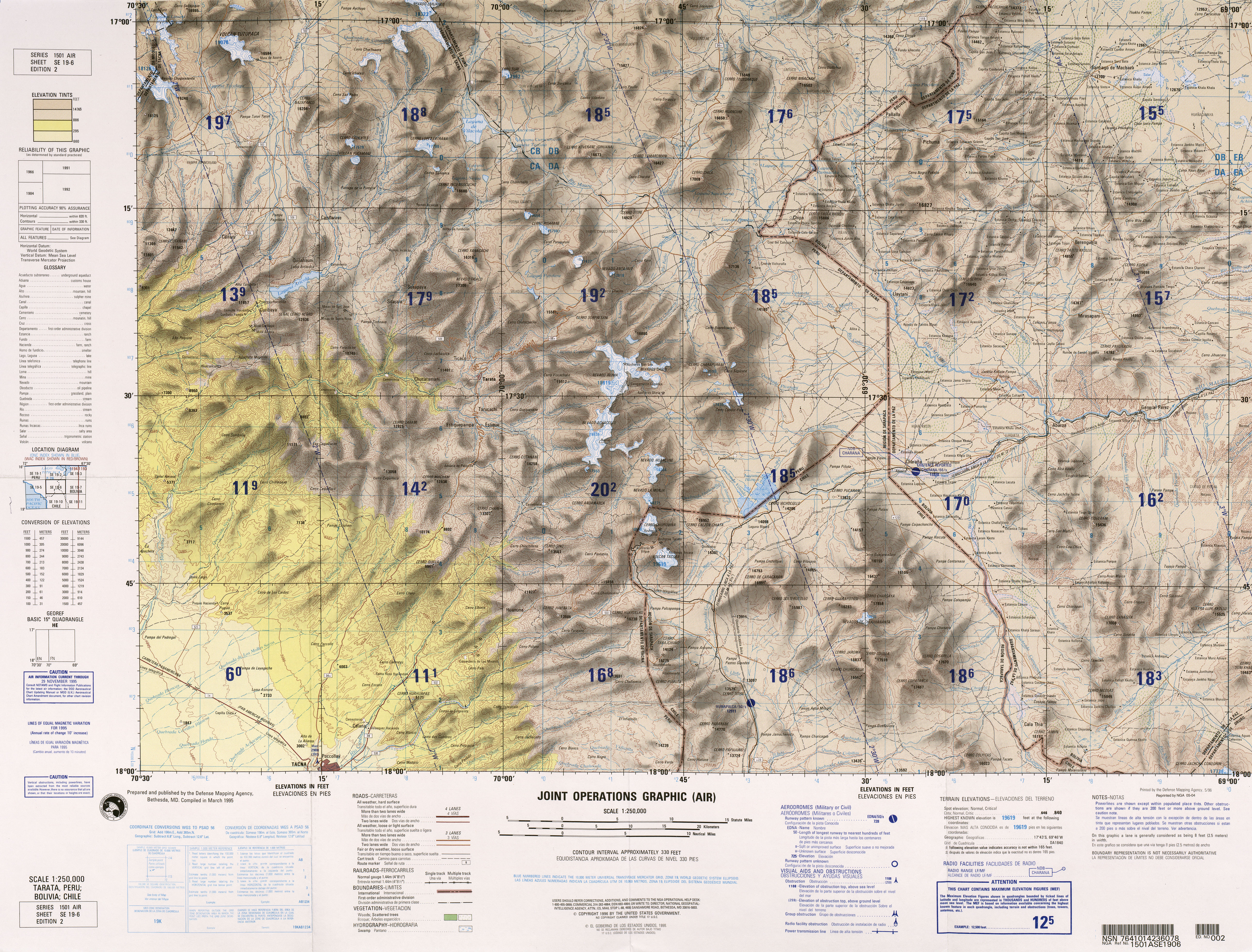
Thola Khollu is the central place of the canton Thola Khollu in the district ( Bolivian : Municipio ) Catacora in the province of José Manuel Pando . The village is located at an altitude of 4232 m near the Peruvian border on one of the tributaries to the Río Mauri , which flows into the Río Desaguadero south of Lake Titicaca .
geography
Thola Khollu is located southwest of Lake Titicaca on the Bolivian Altiplano on the eastern edge of the Andes mountain range of the Cordillera Occidental , which here rises to around 5000 m. The climate of the region is semi-arid and a typical time of day climate , in which the mean temperature fluctuation during the day is more pronounced than during the seasonal course.
The mean annual temperature of Thola Khollu is around 8 ° C (see climate diagram Charaña), the monthly values fluctuate only slightly between 5 ° C from June to July and 10 ° C from November to January. The annual precipitation is only a low 300 mm, the monthly precipitation is between under 10 mm in the months May to October and around 50 mm from December to March.
Transport network
Thola Khollu is located at a distance of 203 km by road southwest of La Paz , the capital of the department of the same name.
From La Paz the highway Ruta 19 leads in a south-westerly direction 35 kilometers to Viacha , from there the Ruta 43 via San Andrés de Machaca , Santiago de Machaca and Catacora to Thola Khollu and on to Hito IV on the Peruvian border.
population
The population of the village has decreased to only a third in the past two decades:
| year | Residents | source |
|---|---|---|
| 1992 | 101 | census |
| 2001 | 59 | census |
| 2012 | 32 | census |
The population of the region is above all the indigenous people of the Aymara on, 91.4 percent of the inhabitants of catacora municipality speak Aymara .
Individual evidence
- ^ INE - Instituto Nacional de Estadística Bolivia 1992
- ^ INE - Instituto Nacional de Estadística Bolivia 2001
- ↑ INE - Instituto Nacional de Estadística Bolivia 2012 ( Memento of the original from July 22, 2011 in the Internet Archive ) Info: The archive link has been inserted automatically and has not yet been checked. Please check the original and archive link according to the instructions and then remove this notice.
Web links
- Relief map Tatara 1: 100,000 (PDF; 10 MB)
- Municipio Catacora - detailed map and population data (PDF; 337 kB) ( Spanish )
- Municipio Catacora - General Maps No. 21902
- La Paz Department - Social data (PDF; 11.63 MB) ( Spanish )