Wethersfield, Connecticut
| Wethersfield | ||
|---|---|---|
|
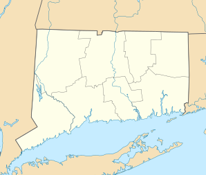
Location in Connecticut
|
||
| Basic data | ||
| Foundation : | 1632 | |
| State : | United States | |
| State : | Connecticut | |
| County : | Hartford County | |
| Coordinates : | 41 ° 42 ′ N , 72 ° 40 ′ W | |
| Time zone : | Eastern ( UTC − 5 / −4 ) | |
| Residents : | 26,220 (as of: 2005) | |
| Population density : | 816.8 inhabitants per km 2 | |
| Area : | 33.9 km 2 (approx. 13 mi 2 ) of which 32.1 km 2 (approx. 12 mi 2 ) are land |
|
| Height : | 41 m | |
| Postal code : | 06109 | |
| Area code : | +1 860 | |
| FIPS : | 09-84900 | |
| GNIS ID : | 0213533 | |
| Website : | wethersfieldct.com | |
| Mayor : | Andrew S. Adil | |
Wethersfield is a city in Hartford County in the US state Connecticut with 27,000 inhabitants (as of 2004). The geographic coordinates are: 41.70 ° North, 72.67 ° West. The urban area has a size of 34.0 km².
history
Wethersfield was founded in 1634 by farmers in neighboring Watertown as a town residence and is one of the oldest towns in Connecticut. On April 23, 1637, some residents of the community were killed in an attack by Pequot Indians. In May 1781 , George Washington and the French General de Rochambeau planned the Battle of Yorktown in Virginia here .
schools
- Charles Wright School
- Emerson-Williams School
- AW Hanmer School
- Highcrest school
- Silas Deane Middle School
- Wethersfield High School
Museums
Webb Deane Stevens Museum
sons and daughters of the town
- Stephen Mix Mitchell (1743–1835), politician in the early days of the United States
- Asher Robbins (1757-1845), US Senator
- Benjamin Wright (1770–1842), surveyor and engineer
- Thomas Scott Williams (1777–1861), politician
- John C. Wright (1783–1861), lawyer and politician
- James Curtiss (1803-1859), politician
- David L. Seymour (1803–1867), lawyer and politician
- Thomas B. Butler (1806–1873), politician
- Charles Wright (1811-1885), botanist
- Samuel L. Warner (1828-1893), politician
- Levi Warner (1831-1911), politician
- Charles McLean Andrews (1863–1943), historian and university professor
- John Mehegan (1920–1984), jazz pianist, lecturer and critic
- Betsey Johnson (* 1942), designer and fashion designer
- Colin McDonald (* 1984), ice hockey player
Web links
Commons : Wethersfield (Connecticut) - Collection of images, videos, and audio files
