Winslow West
| Winslow West | ||
|---|---|---|
|
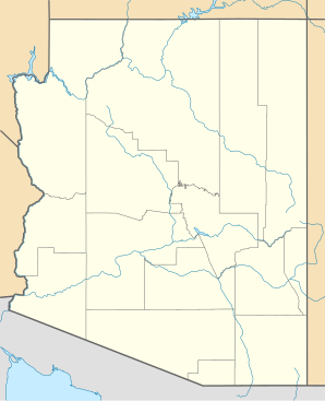
Location in County and Arizona
|
||
| Basic data | ||
| State : | United States | |
| State : | Arizona | |
| County : | Navajo County | |
| Coordinates : | 35 ° 2 ′ N , 110 ° 45 ′ W | |
| Time zone : | Mountain Standard Time ( UTC − 7 ) | |
| Residents : | 131 (as of: 2000) | |
| Population density : | 163.8 inhabitants per km 2 | |
| Area : | 0.8 km 2 (approx. 0 mi 2 ) | |
| Height : | 1519 m | |
| FIPS : | 04-83960 | |
| GNIS ID : | 1853172 | |
Winslow West is a census-designated place in Coconino County and Navajo County in the northeast of the US state Arizona . It lies west of Winslow and about 50 km south of the Hopi - Indian Reservation . Winslow West is connected to US Highway 180 and the rail network. Homolovi Ruins State Park is close to the village .
