Shongopovi
| Shongopovi | |
|---|---|
|
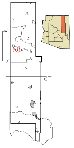
Location in County and Arizona
|
|
| Basic data | |
| State : | United States |
| State : | Arizona |
| County : | Navajo County |
| Coordinates : | 35 ° 49 ′ N , 110 ° 32 ′ W |
| Residents : | 632 (status: 2000) |
| Population density : | 143.6 inhabitants per km 2 |
| Area : | 4.4 km 2 (approx. 2 mi 2 ) of which 4.4 km 2 (approx. 2 mi 2 ) is land |
| Height : | 1933 m |
| Postal code : | 86043 |
| Area code : | +1 928 |
| FIPS : | 04-66190 |
| GNIS ID : | 1866992 |
Shongopovi ( Hopi : Songòopavi ) is a census-designated place in Navajo County in the US state of Arizona . Shongopovi has 632 inhabitants on an area of 4.4 km². It is located in the Navajo Nation and is affected by Arizona State Route 264 .
