Buchholzbach (Armuthsbach)
|
Buchholzbach Escher Bach, Trinkpützsiefen |
||
|
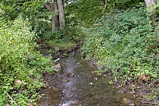
Escher Bach (right) and Lamersbach (left) merge to form the Buchholzbach. |
||
| Data | ||
| Water code | DE : 2718562 | |
| location |
Eifel
|
|
| River system | Rhine | |
| Drain over | Armuthsbach → Ahr → Rhine → North Sea | |
| source | east of the watershed 50 ° 30 ′ 2 ″ N , 6 ° 49 ′ 19 ″ E |
|
| Source height | approx. 480 m above sea level NHN | |
| muzzle | Northwest of Schuld in the Armuthsbach Coordinates: 50 ° 27 '26 " N , 6 ° 51' 48" E 50 ° 27 '26 " N , 6 ° 51' 48" E |
|
| Mouth height | approx. 265 m above sea level NHN | |
| Height difference | approx. 215 m | |
| Bottom slope | approx. 28 ‰ | |
| length | 7.7 km | |
| Catchment area | 17.67 km² | |
| Discharge A Eo : 17.67 km² at the mouth |
MNQ MQ Mq |
12.69 l / s 124.48 l / s 7 l / (s km²) |
|
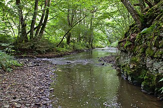
The Buchholzbach flows into the Armuthsbach from the left. |
||
The Buchholzbach is a 7.7 km long, left tributary of the Armuthsbach in the area of the city of Bad Münstereifel in North Rhine-Westphalia , Germany . It drains into the North Sea via the Ahr and Rhine .
geography
course
The Buchholzbach rises as Escher Bach (also Trinkpützsiefen) immediately east of the Bad Münstereifel district of Wasserscheide . It flows in a south-easterly direction through a partly deeply cut valley, first between Esch and Willerscheid , where an unnamed stream from Reckerscheid flows from the left . At Glückstal it takes in the Bröbach (also Brobach) from the left and the Lamersbach from the right, and is then called Buchholzbach. From here, state road 165 runs parallel to the stream through the valley. The Buchholzbach crosses the Hardtbrücke district and flows past the Ellesheimer Mühle before the Odenbach flows from the left and then the Seldesbach (also Selbach) from the right. After the district of Buchholzbacher Mühle , which today houses a riding stables , the Buchholzbach finally flows into the Armuthsbach on the left near today's restaurant Daubiansmühle, which forms the border with the state of Rhineland-Palatinate here.
Catchment area and tributaries
The 17.676 km² catchment area lies entirely within the boundaries of the city of Bad Münstereifel and includes large parts of the former municipality of Mutscheid .
|
Stat. in km |
Surname | GKZ | location | Length in km |
EZG in km² |
MQ in l / s |
|---|---|---|---|---|---|---|
| 6.283 | NN | 2718562 12 | Left | 1.741 | 1.73 | 11.3 |
| 5.136 | Brobach | 2718562 18 | Left | 1.751 | 2.31 | 15.9 |
| 5.072 | Lamersbach | 2718562 4 | right | 3.033 | 1.914 | 12.83 |
| 3.255 | Berresheimer Siefen | 2718562 952 | Left | 0.505 | 0.23 | 1.52 |
| 2.574 | Odenbach | 2718562 96 | Left | 1.546 | 2.59 | 17.69 |
| 2.063 | Seldesbach | 2718562 98 | right | 3.98 | 3.285 | 22.73 |
| 1.992 | NN | 2718562 992 | Left | 0.826 | 0.47 | 3.08 |
Web links
- Catchment area and course of the Buchholzbach in ELWAS
Individual evidence
- ^ German basic map 1: 5000
- ↑ Map service of the landscape information system of the Rhineland-Palatinate nature conservation administration (LANIS map) ( notes )
- ↑ a b c Water directory of the State Office for Nature, Environment and Consumer Protection NRW 2010 (XLS; 4.67 MB) ( Notes )
- ↑ a b Modeled discharge values according to the specialist information system ELWAS, Ministry for Climate Protection, Environment, Agriculture, Nature and Consumer Protection NRW ( notes )
- ↑ Specialized information system ELWAS, Ministry for Climate Protection, Environment, Agriculture, Nature and Consumer Protection NRW ( information )

