
Chajaya
| Chajaya | |||
|---|---|---|---|
| Basic data | |||
| Residents (state) | 273 pop. (2012 census) | ||
| height | 3815 m | ||
| Post Code | 02-1601-0300-1001 | ||
| Telephone code | (+591) | ||
| Coordinates | 15 ° 12 ′ S , 69 ° 1 ′ W | ||
|
|||
| politics | |||
| Department | La Paz | ||
| province | Bautista Saavedra Province | ||

Chajaya (also: General Gonzales ) is a town in the La Paz department in the South American Andean state of Bolivia .
Location in the vicinity
Chajaya is the central place of the canton Chajaya in the district ( Bolivian : Municipio ) Charazani in the province of Bautista Saavedra . The village is located at an altitude of 3818 m between the Cordillera Muñecas in the south and the Cordillera Apolobamba in the north above one of the tributaries of the Río Mapiri , which drains to the Río Beni .
geography
Chajaya is located on the Bolivian Altiplano in the north-western part of the Bolivian Cordillera Central .
The mean average temperature of the region is 9 ° C, the annual precipitation is about 750 mm. The region has a distinct daytime climate, the monthly average temperatures fluctuate only slightly between 5 ° C in July and 9 ° C in December. The monthly precipitation is between less than 10 mm in the months of June and July and more than 100 mm from December to March.
traffic
Chajaya is located at a distance of 247 kilometers by road northwest of La Paz , the capital of the department of the same name.
From La Paz, the paved road Ruta 2 leads 70 kilometers northwest to Huarina , from there the Ruta 16 branches off , which continues as a paved road in a southwest direction for 97 kilometers along Lake Titicaca to Escoma . From there, Ruta 16 continues north as an unpaved road, reaches Chajaya after 80 kilometers and continues down the valley to Charazani .
population
The population of the settlement has changed only insignificantly in the decade between the last two censuses :
| year | Residents | source |
|---|---|---|
| 1992 | 241 | census |
| 2001 | 257 | census |
| 2012 | 273 | census |
Individual evidence
- ↑ GEO ReiseCommunity
- ↑ INE - Instituto Nacional de Estadística Bolivia 1992 ( Memento of the original from April 23, 2014 in the Internet Archive ) Info: The archive link was inserted automatically and has not yet been checked. Please check the original and archive link according to the instructions and then remove this notice.
- ↑ INE - Instituto Nacional de Estadística Bolivia 2001 ( Memento of the original from September 24, 2015 in the Internet Archive ) Info: The archive link has been inserted automatically and has not yet been checked. Please check the original and archive link according to the instructions and then remove this notice.
- ↑ INE - Instituto Nacional de Estadística Bolivia 2012 ( Memento of the original from July 22, 2011 in the Internet Archive ) Info: The archive link has been inserted automatically and has not yet been checked. Please check the original and archive link according to the instructions and then remove this notice.
Web links
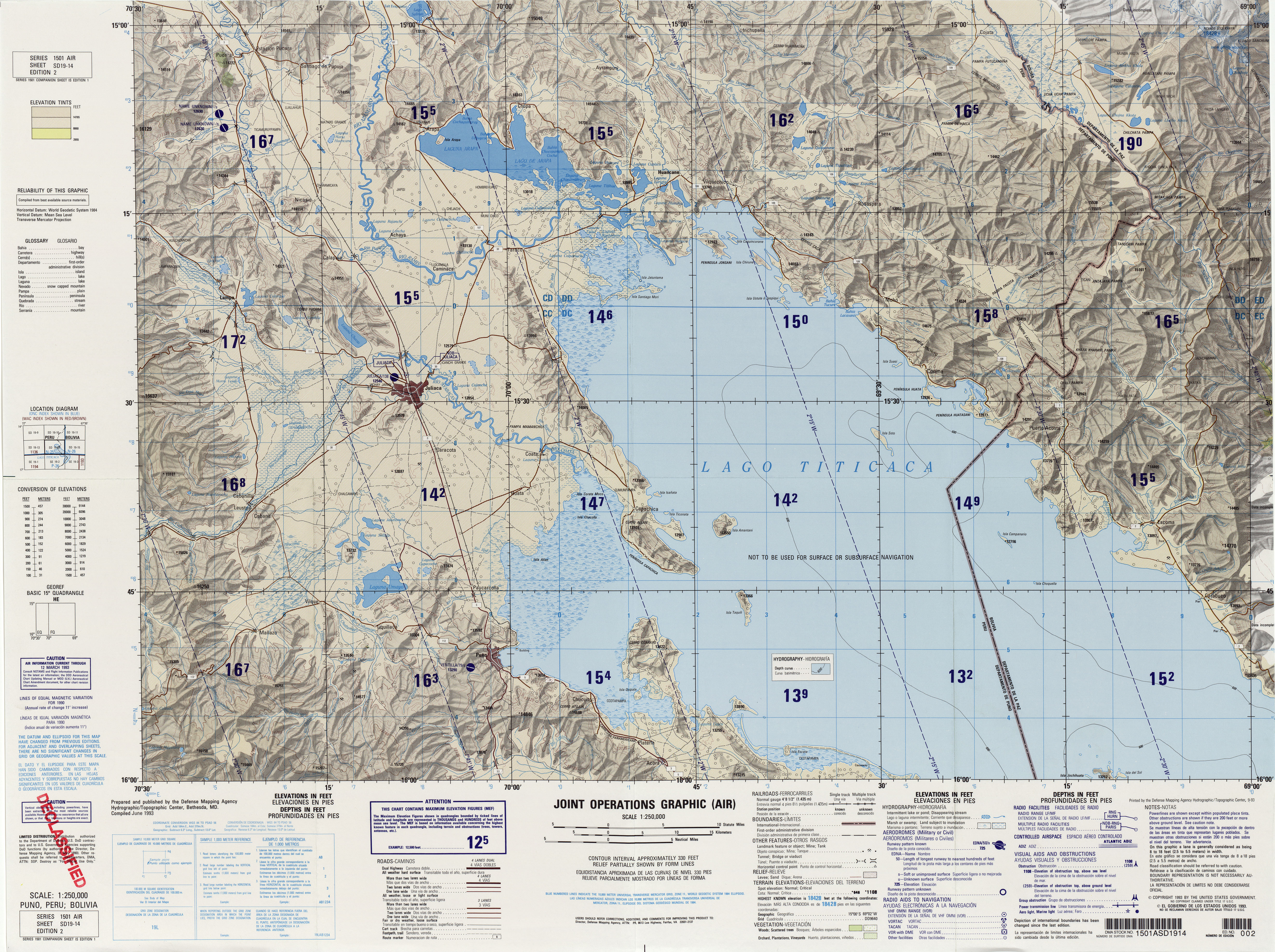
- Relief map of the Puno / Titicaca region 1: 250,000 (JPG; 8.56 MB)
- Municipio Charazani - detailed map and population data (PDF; 883 kB) ( Spanish )
- Municipio Charazani - General Maps No. 21601
- Departamento La Paz - social data of the municipalities (PDF; 11.63 MB) ( Spanish )