Cosson (river)
| Cosson | ||
|
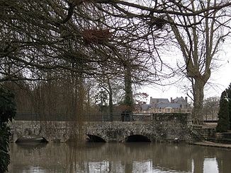
The river at La Ferté-Saint-Aubin |
||
| Data | ||
| Water code | FR : K47-0300 | |
| location | France , Center-Val de Loire region | |
| River system | Loire | |
| Drain over | Beuvron → Loire → Atlantic Ocean | |
| source | in the municipality of Vannes-sur-Cosson 47 ° 41 ′ 52 ″ N , 2 ° 14 ′ 52 ″ E |
|
| Source height | approx. 136 m | |
| muzzle | at Candé-sur-Beuvron in the Beuvron coordinates: 47 ° 29 '43 " N , 1 ° 15' 3" E 47 ° 29 '43 " N , 1 ° 15' 3" E |
|
| Mouth height | approx. 64 m | |
| Height difference | approx. 72 m | |
| Bottom slope | approx. 0.75 ‰ | |
| length | 96 km | |
| Left tributaries | Canne | |
| Right tributaries | Bourillon | |
| Reservoirs flowed through | Etang d'Ossain | |
| Medium-sized cities | Blois | |
| Small towns | La Ferté-Saint-Aubin , Vineuil | |
The Cosson is a river in France that runs in the Center-Val de Loire region . It rises in the Sologne , in the municipality of Vannes-sur-Cosson , from the Étang de la Ramellière . The river generally drains in a westerly direction and after 96 kilometers flows into the Beuvron as a right tributary at Candé-sur- Beuvron , just before it flows into the Loire . On its way, the Cosson crosses the Loiret and Loir-et-Cher departments .
Places on the river
- Vannes-sur-Cosson
- La Ferté-Saint-Aubin
- Ligny-le-Ribault
- Chambord
- Vineuil
- Blois
- Saint-Gervais-la-Forêt
- Candé-sur-Beuvron
Web links
Commons : Cosson - collection of images, videos and audio files
