Dennis (CDP)
| Dennis | ||
|---|---|---|
|
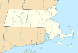
Location in Massachusetts
|
||
| Basic data | ||
| State : | United States | |
| State : | Massachusetts | |
| County : | Barnstable County | |
| Coordinates : | 41 ° 44 ′ N , 70 ° 12 ′ W | |
| Time zone : | Eastern ( UTC − 5 / −4 ) | |
| Residents : | 2,798 (as of: 2000) | |
| Population density : | 220.3 inhabitants per km 2 | |
| Area : | 13.1 km 2 (approx. 5 mi 2 ) of which 12.7 km 2 (approx. 5 mi 2 ) are land |
|
| Height : | 5 m | |
| Postal code : | 02638 | |
| FIPS : | 25-16740 | |
| GNIS ID : | 0615824 | |
Dennis is a census-designated place (CDP) in the town of Dennis in Barnstable County in the United States . The population was 2,798 (as of 2000).
geography
According to the United States Census Bureau , the CDP has a total area of 13.1 km². 12.7 km² of it is land and 0.4 km² of it is water.

