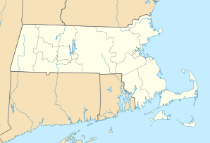
Dennis Port
| Dennis Port | ||
|---|---|---|
|
Location in Massachusetts
|
||
| Basic data | ||
| State : | United States | |
| State : | Massachusetts | |
| County : | Barnstable County | |
| Coordinates : | 41 ° 40 ′ N , 70 ° 8 ′ W | |
| Time zone : | Eastern ( UTC − 5 / −4 ) | |
| Residents : | 3,612 (as of: 2000) | |
| Population density : | 457.2 inhabitants per km 2 | |
| Area : | 8.5 km 2 (about 3 mi 2 ) of which 7.9 km 2 (about 3 mi 2 ) is land |
|
| Height : | 6 m | |
| Postal code : | 02639 | |
| FIPS : | 25-16810 | |
| GNIS ID : | 0615825 | |
Dennis Port (or Dennisport ) is a census-designated place (CDP) in Dennis in Barnstable County in Massachusetts in the United States .
The Swan River forms the western border between Dennisport and West Dennis. The village of West Harwich is directly to Dennisport's east; the boundary marks the center of Division Street. To the north of Dennisport is South Dennis . Like other villages on Nantucket Sound , Dennisport has hot water beaches such as Haigis Beach, Sea Street Beach, and Glendon Road Beach. Many consider these to be among the most desirable places to swim and windsurf in Cape Cod.
Housing prices remain at astronomical heights compared to the US standard in Dennisport. Most of the apartments are from the era of World War II, and beach vacation homes are built in the Cape Cod style. Many streets in Dennisport - especially the south of Lower County Road with half a mile of beach - evoke the idyllic ambience of the early years of the 20th century. There are a large number of hotels , vacation homes and shops for tourists .
A famous resident of Dennisport is US military hero Benjamin F. Baker .
geography
According to the United States Census Bureau , the CDP has a total area of 8.5 km², of which 7.9 km² is land and 0.6 km² is water.

