
Heuberg (Rosaliengebirge)
| Heuberg | ||
|---|---|---|
 Summit area of the Heuberg |
||
| height | 748 m above sea level A. | |
| location | Burgenland | |
| Mountains | Rosaliengebirge | |
| Dominance | 9.52 km → Mouse bar | |
| Notch height | 154 m ↓ Steghöfe | |
| Coordinates | 47 ° 41 ′ 51 ″ N , 16 ° 18 ′ 24 ″ E | |
|
||

The Heuberg , also known as Rosalia , is 748 m above sea level. A. the highest point of the Rosaliengebirge .
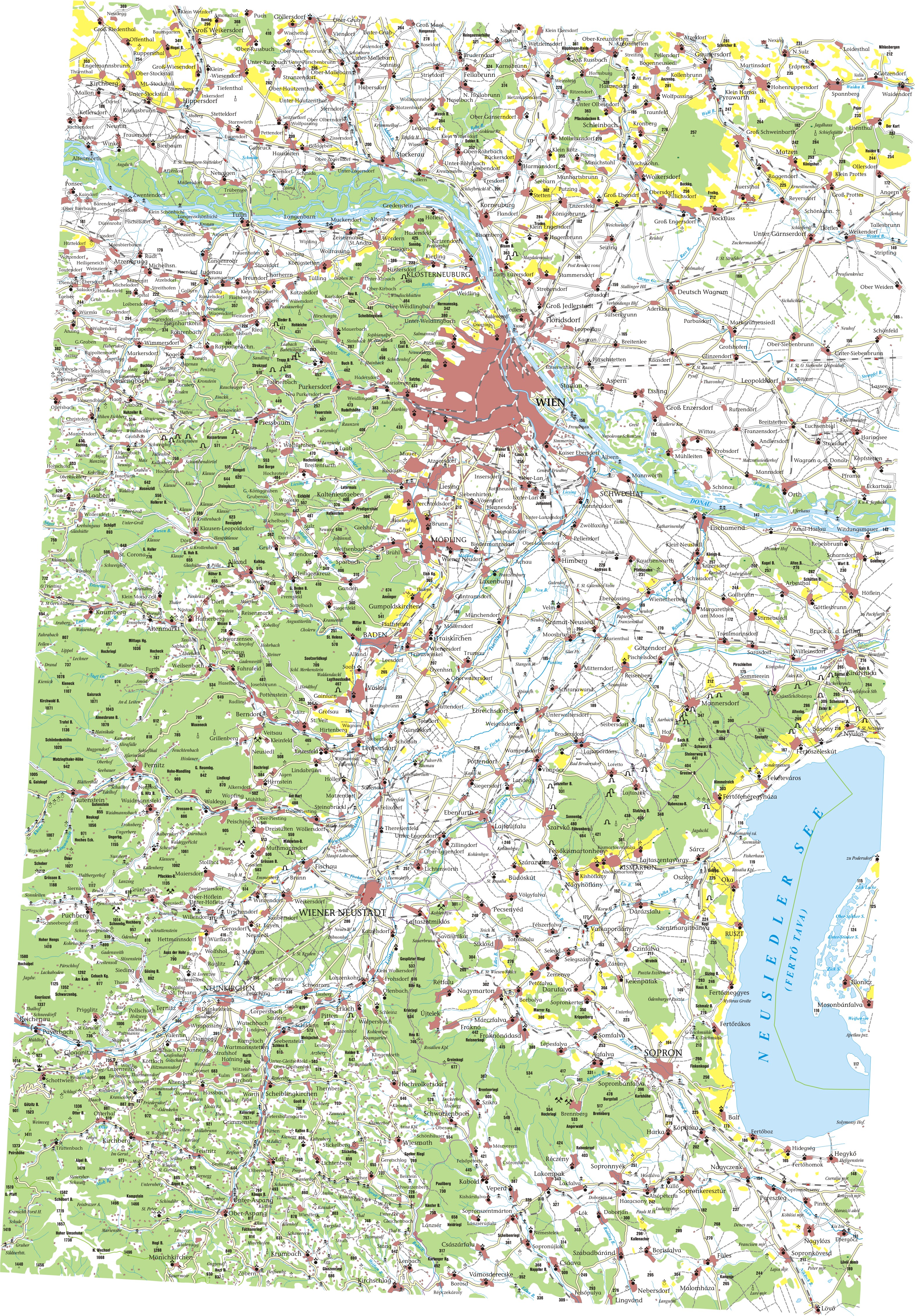
The Heuberg is located in the municipality of Forchtenstein in Burgenland , northeast of the Hochwolkersdorfer Rotte Hollerberg and northwest of the Rosalienhäuser district of the Forchtensteiner cadastral community Neustift an der Rosalia . The border with Lower Austria runs only about 150 meters to the west and south of the summit . In the northwest of the municipality of Lanzenkirchen is the Ofenbacher Rotte Heuberg , where a teaching forest center of the University of Natural Resources and Life Sciences in Vienna is located. The neighboring mountains are the Auerberg ( 740 m ) and the Hartlspitz ( 700 m ) in the south. The Wulka rises on the northeast slope of the mountain .
On the southern slope below the Rosalienkapelle there is a skiing and tobogganing meadow . In winter, if there is enough snow, there is a 150-meter-long drag lift that is mainly used by parents with children.
Geologically, the Heuberg consists of coarse gneiss . The slopes are dominated by agricultural land, but the summit area is forested. The Rosalienkapelle , a well-known pilgrimage church, is located here. A path leads to it from the Rosalienhäuser settlement. The transmitter Heuberg is located on the northern slope of the Heuberg .