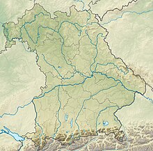
Kalten (nature reserve)
Coordinates: 47 ° 49 ′ 16 ″ N , 12 ° 3 ′ 30 ″ E
The Kalten nature reserve is roughly equally divided between the urban district of Rosenheim and the district of Rosenheim in Upper Bavaria .
The 95.7 hectare area with the number NSG-00347.01, which was placed under nature protection in 1989 , extends west of the Rosenheim district Westerndorf directly on the southern edge of the St 2010. The Kaltenbach flows through the area . The B 15a runs to the east and the A 8 to the south . The Mangfall flows north and the Inn a little further east .
See also
Web links
Commons : Kalten (nature reserve) - Collection of pictures, videos and audio files


