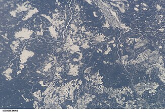
Kenogami River
The Kenogami River is a river in the Thunder Bay District and Cochrane District in the Canadian province of Ontario .
The Kenogami River originally formed the outflow from Long Lake near Longlac to the Albany River , which flows into James Bay . The river has a length of 320 km.
In 1937-38, the Hydro-Electric Power Commission of Ontario , today's Ontario Power Generation , built the Kenogami Diverson Dam ( ⊙ ) to divert the water from the upper Kenogami River to the Aguasabon River and Lake Superior . The water now flows in the opposite direction to Long Lake and through a drainage channel on to Long Lake Control Dam . A catchment area with an area of 4400 km² was withdrawn from James Bay and added to the Great Lakes .
Kenogami means "long water" in the Cree language .
Web links
- Topographic map sheets 42E, 42K, 42L, 42N . In: Atlas of Canada . Natural Resources Canada. February 6, 2006. Retrieved June 23, 2009.
Individual evidence
- ↑ Kenogami River at the Kenogami Diversion Dam gauge - hydrographic data from R-ArcticNET
- ↑ Kenogami River at the Mammamattawa gauge - hydrographic data from R-ArcticNET
- ^ OPG's Evolving Relationship with Aboriginal Peoples . (PDF) In: Ontario Power Generation (Ed.): PowerNews . 10, No. 14, September 12, 2008, p. 11. Retrieved June 23, 2009.
