List of municipalities in the St. Pölten urban region
The St. Pölten urban region is an Austrian agglomeration in Lower Austria . The region consists of the core zone (code: SR151) and the outer zone (code: SR152) .
History of the classification
The delimitation of the urban regions (urban centers) was carried out by Statistics Austria for 1971 to 2001 every 10 years. For the reference date October 31, 2013, delimitation was carried out for the first time according to the urban-rural typology developed by Statistics Austria for statistical purposes , which integrates the delimitation of the city regions.
List of municipalities according to the 2001 delimitation
- The population in the list is from January 1, 2020.
- Regions are small regions in Lower Austria (as of January 2018)
St. Pölten core zone
| local community | location | Ew | km² | Ew / km² | Judicial district | region | Type | Metadata |
|---|---|---|---|---|---|---|---|---|
St. Polten
|

|
55,514 | 108.44 | 512 | St. Polten | - | Statutory city |
According to code: 30201 |
St. Pölten's outer zone
| local community | location | Ew | km² | Ew / km² | Judicial district | region | Type | Metadata |
|---|---|---|---|---|---|---|---|---|
Bischofstetten
|

|
1,230 | 19.1 | 64 | Melk | 27 high 6 | market community |
According to code: 31504 |
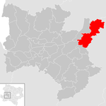
Dunkelsteinerwald
|
|
2,393 | 54.28 | 44 | Melk | 18 ARGE Dunkelsteinerwald | market community |
According to code: 31507 |
Gerersdorf
|

|
985 | 13.67 | 72 | St. Polten | 75 GeMaPriMa | local community |
According to code: 31907 |
Hafnerbach
|

|
1,663 | 29.31 | 57 | St. Polten | 18 ARGE Dunkelsteinerwald | local community |
According to code: 31910 |
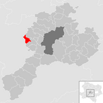
Haunoldstein
|
|
1,226 | 9.91 | 124 | St. Polten | 18 ARGE Dunkelsteinerwald | local community |
According to code: 31911 |
Chapels
|

|
1,390 | 20.18 | 69 | Neulengbach | 04 Lower Traisental | market community |
According to code: 31915 |
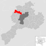
Karlstetten
|
|
2.175 | 28.46 | 76 | St. Polten | - | market community |
According to code: 31916 |
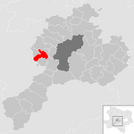
Markersdorf-Haindorf
|
|
2,090 | 16.67 | 125 | St. Polten | 75 GeMaPriMa | market community |
According to code: 31922 |
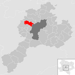
Envious
|
|
1,472 | 18.69 | 79 | St. Polten | 18 ARGE Dunkelsteinerwald | market community |
According to code: 31925 |
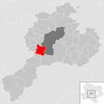
Ober-Grafendorf
|
|
4,593 | 24.6 | 187 | St. Polten | 12 Pielachtal | market community |
According to code: 31929 |
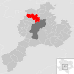
Obritzberg-Rust
|
|
2,321 | 41.55 | 56 | St. Polten | - | market community |
According to code: 31930 |
Prinzersdorf
|

|
1,592 | 4.05 | 393 | St. Polten | 75 GeMaPriMa | market community |
Acc. To code: 31932 |
Pyhra
|

|
3,566 | 66.94 | 53 | St. Polten | - | market community |
According to code: 31934 |
St. Margarethen on the Sierning
|

|
1.007 | 14.58 | 69 | St. Polten | 75 GeMaPriMa | market community |
Acc. To code: 31938 |
Weinburg
|

|
1,395 | 10.4 | 134 | St. Polten | 12 Pielachtal | local community |
Acc. To code: 31945 |
Wilhelmsburg
|

|
6,492 | 45.96 | 141 | St. Polten | 41 Traisen-Gölsental | urban community |
According to code: 31947 |
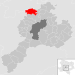
Wölbling
|
|
2,553 | 32.37 | 79 | St. Polten | - | market community |
According to code: 31948 |
See also
Web links
Individual evidence
- ↑ Classifications according to urban and rural areas. Statistics Austria, accessed on July 18, 2019 .